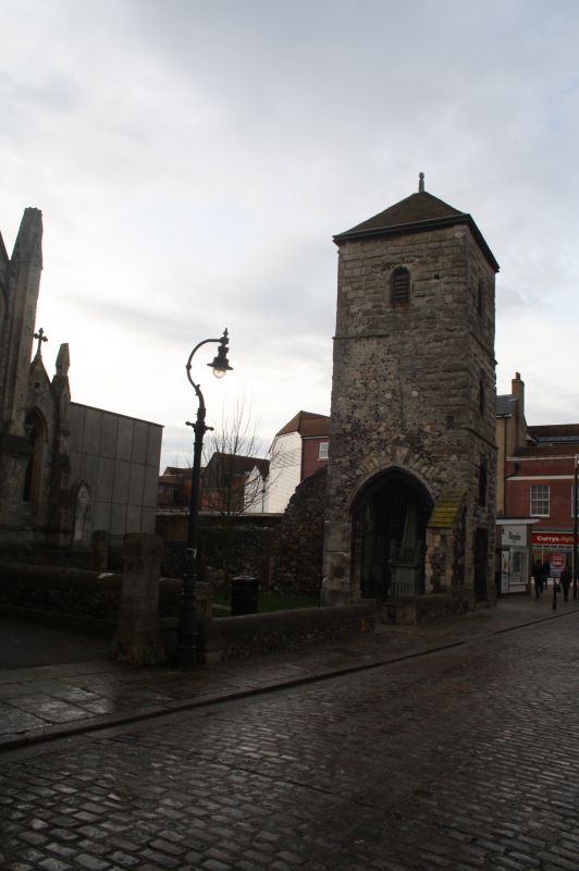
Latitude: 51.2785 / 51°16'42"N
Longitude: 1.083 / 1°4'58"E
OS Eastings: 615117
OS Northings: 157773
OS Grid: TR151577
Mapcode National: GBR TY2.YCN
Mapcode Global: VHLGM.Q4F8
Plus Code: 9F3373HM+96
Entry Name: Remains of St Mary Magdalen's Church Tower
Listing Date: 3 December 1949
Grade: II
Source: Historic England
Source ID: 1085123
English Heritage Legacy ID: 170469
ID on this website: 101085123
Location: Canterbury, Kent, CT1
County: Kent
District: Canterbury
Electoral Ward/Division: Westgate
Parish: Non Civil Parish
Built-Up Area: Canterbury
Traditional County: Kent
Lieutenancy Area (Ceremonial County): Kent
1. 944 BURGATE (South West Side)
Tower. Remains of St Mary Magdalen's Church
TR 1557 NW 5/29 3.12.49.
II
2. All that remains of St Mary Magdalen's Church. 1503. The front elevation is stone faced, the side is of flint and rubble. 4 storeys having lancets with foliated heads. First floor has a double lancer. Ground floor has a doorcase with decorated spandrels. Cl7 memorials. A scheduled AM.
Listing NGR: TR1511757773


Other nearby listed buildings