Latitude: 51.42 / 51°25'11"N
Longitude: 0.3072 / 0°18'25"E
OS Eastings: 560517
OS Northings: 171522
OS Grid: TQ605715
Mapcode National: GBR Y2.B3V
Mapcode Global: VHHP2.8KRS
Plus Code: 9F32C894+XV
Entry Name: Betsham House
Listing Date: 17 March 1982
Grade: II
Source: Historic England
Source ID: 1085806
English Heritage Legacy ID: 172691
ID on this website: 101085806
Location: Betsham, Dartford, Kent, DA13
County: Kent
District: Dartford
Civil Parish: Southfleet
Built-Up Area: Betsham
Traditional County: Kent
Lieutenancy Area (Ceremonial County): Kent
Church of England Parish: Southfleet St Nicholas
Church of England Diocese: Rochester
Tagged with: House
1. 5274 SOUTHFLEET WESTWOOD ROAD (north-west side)
Betsham House TQ 67 SW 5/57
II
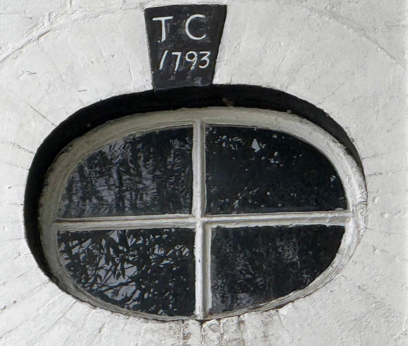
2. Late C18 house much altered in mid C19. L-shaped. Two storeys painted brick with tiled roof. Two casements and oval window dated "TC 1793". Plinth. Mid C19 tiled gabled porch with wooden brackets. The L-wing has a gable end with scalloped bargeboards and the garden elevation has 2 triple casements.
Listing NGR: TQ6052071509
External links are from the relevant listing authority and, where applicable, Wikidata. Wikidata IDs may be related buildings as well as this specific building. If you want to add or update a link, you will need to do so by editing the Wikidata entry.


Other nearby listed buildings