Approximate Location Map
Large Map »
Latitude: 51.2709 / 51°16'15"N
Longitude: 0.1926 / 0°11'33"E
OS Eastings: 553047
OS Northings: 154694
OS Grid: TQ530546
Mapcode National: GBR MN4.7HQ
Mapcode Global: VHHPS.9B53
Plus Code: 9F3275CV+82
Entry Name: 99, High Street
Listing Date: 29 September 1972
Grade: II
Source: Historic England
Source ID: 1085985
English Heritage Legacy ID: 172221
ID on this website: 101085985
Location: Sevenoaks, Kent, TN13
County: Kent
District: Sevenoaks
Civil Parish: Sevenoaks
Built-Up Area: Sevenoaks
Traditional County: Kent
Lieutenancy Area (Ceremonial County): Kent
Church of England Parish: Sevenoaks St Nicholas
Church of England Diocese: Rochester
Tagged with: Building
HIGH STREET
1.
1614
(West Side)
No 99
TQ 5354/1/42
II
2.
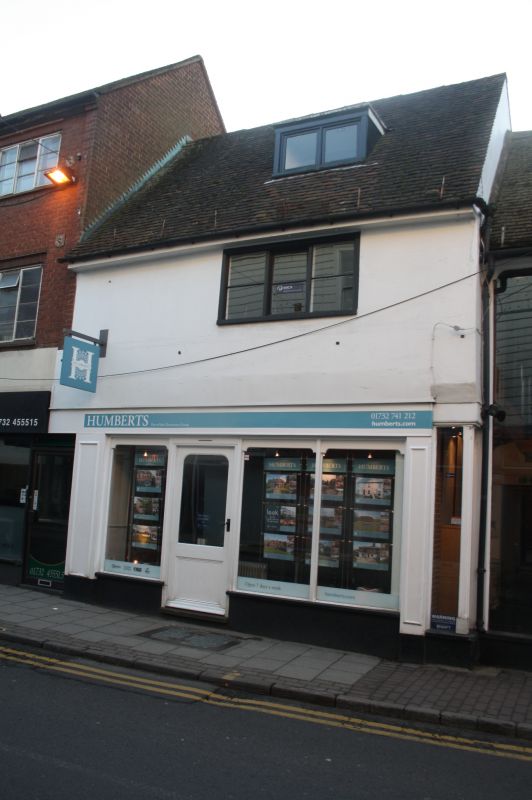
Possibly a C17 framed structure. 2 storeys and dormer. Modern shop front on
ground floor. Stucco elevation on first floor with centre casement. Boxed
eaves and gutter. Ridge tile roof with modern flat-roofed leaded dormer in
centre. Brick stack to left.
Nos 99 and 101 form a group.
Listing NGR: TQ5304654699
External links are from the relevant listing authority and, where applicable, Wikidata. Wikidata IDs may be related buildings as well as this specific building. If you want to add or update a link, you will need to do so by editing the Wikidata entry.


Other nearby listed buildings
