Approximate Location Map
Large Map »
Latitude: 51.266 / 51°15'57"N
Longitude: 0.1934 / 0°11'36"E
OS Eastings: 553122
OS Northings: 154159
OS Grid: TQ531541
Mapcode National: GBR MN4.FQX
Mapcode Global: VHHPS.9FMT
Plus Code: 9F32758V+C9
Entry Name: The Royal Oak Tap
Listing Date: 29 September 1972
Grade: II
Source: Historic England
Source ID: 1086017
English Heritage Legacy ID: 172201
ID on this website: 101086017
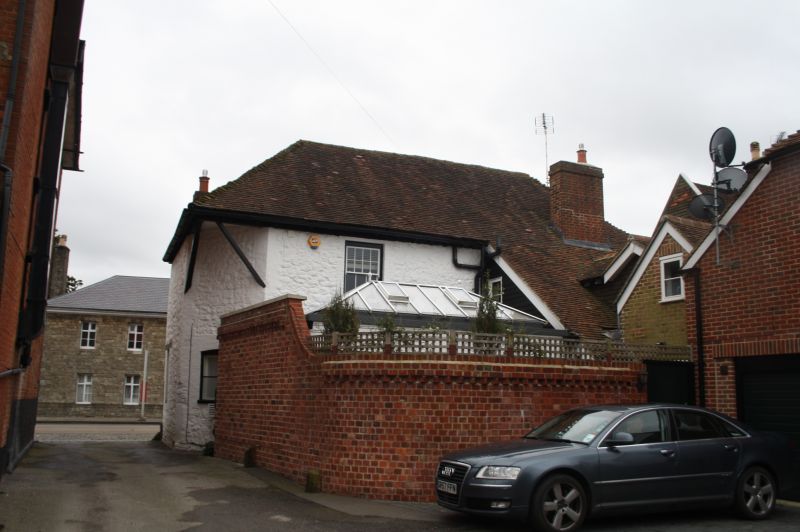
HIGH STREET
1.
1614
(West Side)
The Royal Oak Tap
TQ 5354/1/27
II
2.
C18. Painted brick elevation with random stone plinth. 4-window facade.
2 storeys. Eaves and gutter. Hip tiled roof. 2 flat-roofed leaded dormers.
Ground floor with entrance to saloon bar with glazed double doors with side
lights and rectangular fanlight over. 2 windows to left of door and 1
window to right.
Listing NGR: TQ5312254159
External links are from the relevant listing authority and, where applicable, Wikidata. Wikidata IDs may be related buildings as well as this specific building. If you want to add or update a link, you will need to do so by editing the Wikidata entry.


Other nearby listed buildings
