Latitude: 51.2544 / 51°15'15"N
Longitude: 0.5336 / 0°32'1"E
OS Eastings: 576897
OS Northings: 153629
OS Grid: TQ768536
Mapcode National: GBR PRF.9QH
Mapcode Global: VHJMF.6QGR
Plus Code: 9F327G3M+QC
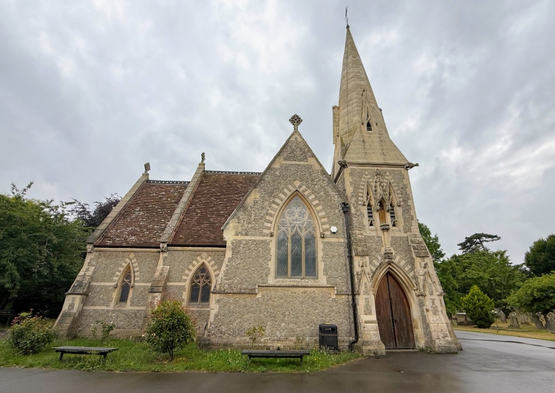
Entry Name: Cemetery Chapel
Listing Date: 2 August 1974
Grade: II
Source: Historic England
Source ID: 1086290
English Heritage Legacy ID: 173492
ID on this website: 101086290
Location: Maidstone Cemetery, Shepway, Maidstone, Kent, ME15
County: Kent
District: Maidstone
Electoral Ward/Division: Shepway North
Parish: Loose
Built-Up Area: Maidstone
Traditional County: Kent
Lieutenancy Area (Ceremonial County): Kent
Tagged with: Chapel
SUTTON ROAD 1. 5278 (South West Side) Cemetery Chapel TQ 75 SE 11/342 II
2. 1858 by Peck and stephens. Built of Kentish ragstone. Tiled roof. North tower with spire and buttresses. 3 bay nave and north chapel. The windows on the north side have hood moulding and corbels. Gargoyles on the south side+.
Listing NGR: TQ7683753768
External links are from the relevant listing authority and, where applicable, Wikidata. Wikidata IDs may be related buildings as well as this specific building. If you want to add or update a link, you will need to do so by editing the Wikidata entry.


Other nearby listed buildings