Approximate Location Map
Large Map »
Latitude: 51.1168 / 51°7'0"N
Longitude: 0.4332 / 0°25'59"E
OS Eastings: 570399
OS Northings: 138095
OS Grid: TQ703380
Mapcode National: GBR NRJ.VS0
Mapcode Global: VHJN4.G6D6
Plus Code: 9F324C8M+P7
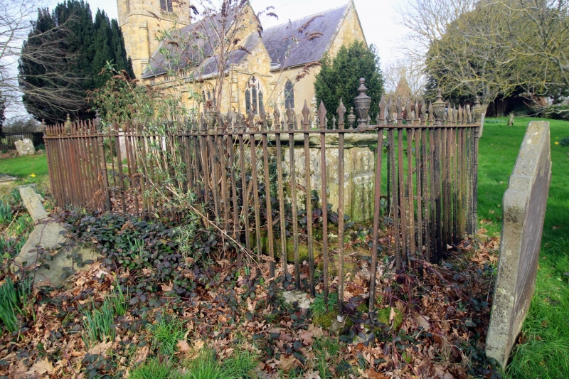
Entry Name: Chest Tomb of Thomas Twort, About 15 Metres South East of Church of St Margaret
Listing Date: 10 October 1989
Grade: II
Source: Historic England
Source ID: 1086957
English Heritage Legacy ID: 169852
ID on this website: 101086957
Location: St Margaret's Church, Smallbridge, Tunbridge Wells, Kent, TN12
County: Kent
District: Tunbridge Wells
Civil Parish: Horsmonden
Traditional County: Kent
Lieutenancy Area (Ceremonial County): Kent
Church of England Parish: Horsmonden St Margaret
Church of England Diocese: Rochester
Tagged with: Chest tomb
HORSMONDEN BRICK KILN LANE
TQ 73 NW
(south rust side)
4/16 Chest tomb of Thomas
Twort, about 15 metres
south east of Church of
St.Margaret
GV II
Chest tomb. Early C19 to Thomas and Elizabeth Twort. Moulded base with reeded
and fluted corner piers and moulded inscription panels and with moulded top
slab.
Listing NGR: TQ7039938094
External links are from the relevant listing authority and, where applicable, Wikidata. Wikidata IDs may be related buildings as well as this specific building. If you want to add or update a link, you will need to do so by editing the Wikidata entry.


Other nearby listed buildings
