Approximate Location Map
Large Map »
Latitude: 51.9511 / 51°57'4"N
Longitude: -1.9728 / 1°58'22"W
OS Eastings: 401963
OS Northings: 228071
OS Grid: SP019280
Mapcode National: GBR 3N1.L1D
Mapcode Global: VHB1K.R7D3
Plus Code: 9C3WX22G+FV
Entry Name: The Haven
Listing Date: 4 July 1960
Grade: II
Source: Historic England
Source ID: 1091518
English Heritage Legacy ID: 133966
ID on this website: 101091518
Location: Winchcombe, Tewkesbury, Gloucestershire, GL54
County: Gloucestershire
District: Tewkesbury
Civil Parish: Winchcombe
Built-Up Area: Winchcombe
Traditional County: Gloucestershire
Lieutenancy Area (Ceremonial County): Gloucestershire
Church of England Parish: Winchcombe St Peter
Church of England Diocese: Gloucester
Tagged with: Building
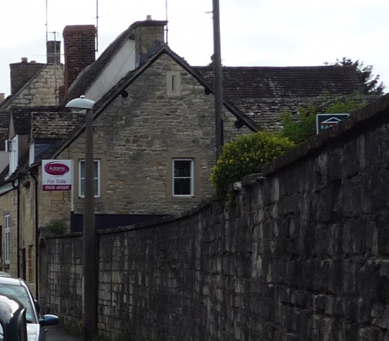
SP 02 NW WINCHCOMBE GLOUCESTER STREET
(north side)
3/68
No 97 (The Haven)
4.7.60
GV II
House at end of row. Early C19. Limestone ashlar, stone slate roof with
brick stack, right. One and a half storeys, 1-windowed, casement gabled
dormer over 2-light chamfered stone mullion casement, late C20 plank door
in plain opening, left.
Listing NGR: SP0196128075
External links are from the relevant listing authority and, where applicable, Wikidata. Wikidata IDs may be related buildings as well as this specific building. If you want to add or update a link, you will need to do so by editing the Wikidata entry.


Other nearby listed buildings
