Approximate Location Map
Large Map »
Latitude: 51.0149 / 51°0'53"N
Longitude: -0.9171 / 0°55'1"W
OS Eastings: 476057
OS Northings: 124501
OS Grid: SU760245
Mapcode National: GBR CC4.8Y3
Mapcode Global: FRA 86ZF.DK9
Plus Code: 9C3X237M+W4
Entry Name: Garden Wall to North-West of Old Sheet House
Listing Date: 19 February 1973
Grade: II
Source: Historic England
Source ID: 1093589
English Heritage Legacy ID: 141349
ID on this website: 101093589
Location: Sheet, East Hampshire, GU31
County: Hampshire
District: East Hampshire
Civil Parish: Sheet
Built-Up Area: Petersfield
Traditional County: Hampshire
Lieutenancy Area (Ceremonial County): Hampshire
Church of England Parish: Sheet St Mary
Church of England Diocese: Portsmouth
Tagged with: Wall
LONDON ROAD
1.
1501
(North Side)
SHEET
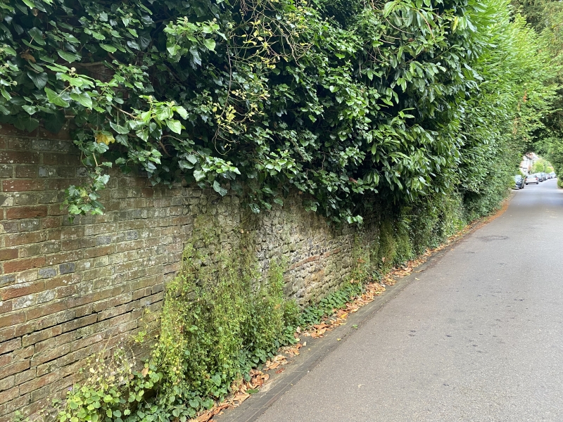
Garden wall to North-west
of Old Sheet House
SU 72 SE 9/100A
II
2.
Stone wall with brick dressings and flint band.
Listing NGR: SU7585524154
External links are from the relevant listing authority and, where applicable, Wikidata. Wikidata IDs may be related buildings as well as this specific building. If you want to add or update a link, you will need to do so by editing the Wikidata entry.


Other nearby listed buildings
