Latitude: 51.7538 / 51°45'13"N
Longitude: -0.3535 / 0°21'12"W
OS Eastings: 513747
OS Northings: 207404
OS Grid: TL137074
Mapcode National: GBR H83.TPX
Mapcode Global: VHFS7.T5GW
Plus Code: 9C3XQJ3W+GH
Entry Name: 17, St Michael's Street
Listing Date: 27 August 1971
Grade: II
Source: Historic England
Source ID: 1103084
English Heritage Legacy ID: 163407
ID on this website: 101103084
Location: St. Albans, Hertfordshire, AL3
County: Hertfordshire
District: St. Albans
Electoral Ward/Division: Verulam
Parish: Non Civil Parish
Built-Up Area: St Albans
Traditional County: Hertfordshire
Lieutenancy Area (Ceremonial County): Hertfordshire
Church of England Parish: St Albans St Michael
Church of England Diocese: St.Albans
Tagged with: Building
ST MICHAELS'S STREET 1. (East Side) 1582 No 17
TL 1307 SE 7/272
II
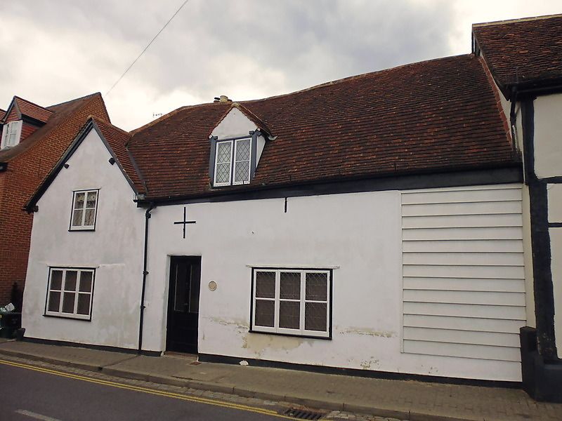
2. C17 or earlier building, one storey and attic, irregular. High pitched, hipped, tiled, mansard roof with gable at left, having 2-light casement window; and gabled dormer with 2-light casement. Modern leading to all windows. Ground floor shop windows either side of recessed, central door. Plastered walls. Old, studded, plank door with wrought iron hinges in small, weather boarded extension to south.
Listing NGR: TL1374707404
External links are from the relevant listing authority and, where applicable, Wikidata. Wikidata IDs may be related buildings as well as this specific building. If you want to add or update a link, you will need to do so by editing the Wikidata entry.


Other nearby listed buildings