Approximate Location Map
Large Map »
Latitude: 50.2868 / 50°17'12"N
Longitude: -3.7731 / 3°46'23"W
OS Eastings: 273780
OS Northings: 44489
OS Grid: SX737444
Mapcode National: GBR QH.BGFF
Mapcode Global: FRA 28Z8.PVS
Plus Code: 9C2R76PG+PQ
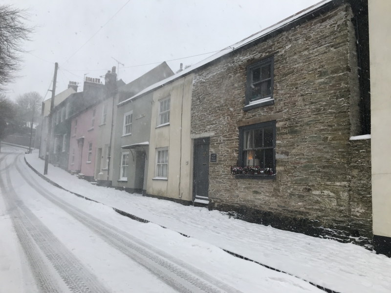
Entry Name: 128-132, Church Street
Listing Date: 31 October 1972
Grade: II
Source: Historic England
Source ID: 1107510
English Heritage Legacy ID: 98989
ID on this website: 101107510
Location: Dodbrooke, South Hams, Devon, TQ7
County: Devon
District: South Hams
Civil Parish: Kingsbridge
Built-Up Area: Kingsbridge
Traditional County: Devon
Lieutenancy Area (Ceremonial County): Devon
Church of England Parish: Dodbrooke St Thomas of Canterbury
Church of England Diocese: Exeter
Tagged with: Building
1.
1276 CHURCH STREET
(East Side)
Nos 128 to 132 (even)
SX 7344 1/125
II GV
2.
C18. Painted rubble, No 132 stuccoed. Slate roof with gable ends.
2 storeys. 3 wide spaced sashes with vertical glazing bars only,
exposed casing. Wide doorways. No 132 has simple hood. Large end
chimney stack. Included for group value.
Listing NGR: SX7378044489
External links are from the relevant listing authority and, where applicable, Wikidata. Wikidata IDs may be related buildings as well as this specific building. If you want to add or update a link, you will need to do so by editing the Wikidata entry.


Other nearby listed buildings
