Approximate Location Map
Large Map »
Latitude: 50.7344 / 50°44'3"N
Longitude: -1.7768 / 1°46'36"W
OS Eastings: 415844
OS Northings: 92779
OS Grid: SZ158927
Mapcode National: GBR 55B.TWN
Mapcode Global: FRA 7754.FLF
Plus Code: 9C2WP6MF+Q7
Entry Name: The Ships Hotel
Listing Date: 12 February 1976
Grade: II
Source: Historic England
Source ID: 1110112
English Heritage Legacy ID: 101521
ID on this website: 101110112
Location: Christchurch, Bournemouth, Christchurch and Poole, Dorset, BH23
County: Bournemouth, Christchurch and Poole
Parish: Christchurch
Built-Up Area: Christchurch
Traditional County: Hampshire
Lieutenancy Area (Ceremonial County): Dorset
Church of England Parish: Christchurch Holy Trinity
Church of England Diocese: Winchester
Tagged with: Hotel
HIGH STREET
1. (North East Side)
5187
No 48
(The Ship Hotel)
SZ 1592 1A/95
II GV
2.
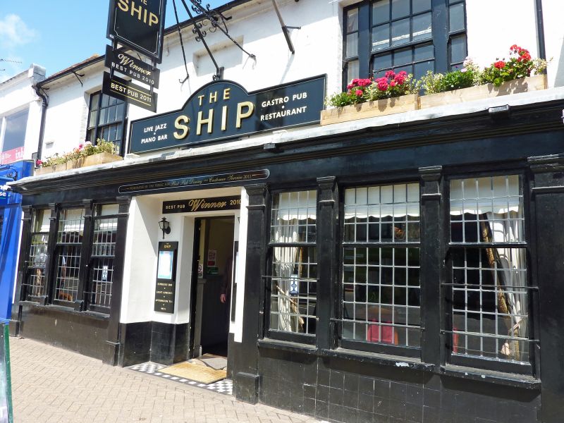
Early C19 facade to older building. Painted brick with slated roof. 2 storeys.
3 windows including centre 1st floor blank, sashes with glazing bets. Ground
floor has later, advanced facade with centre door and flanking windows. At rear,
C17/early C18 gables to cross wings.
The Town Hall, Nos 38, 38a, 42 to 46 (even) and The Ship Hotel form a group with
Nos 25 to 29 (odd), No 31, Nos 43 and 45 and with the walls at the rear of No 29
and those in the Druitt Gardens, Nos 25, 31, 45, 38, 38a, and No 46 are buildings
of local interest.
Listing NGR: SZ1584492779
External links are from the relevant listing authority and, where applicable, Wikidata. Wikidata IDs may be related buildings as well as this specific building. If you want to add or update a link, you will need to do so by editing the Wikidata entry.


Other nearby listed buildings
