Latitude: 50.9449 / 50°56'41"N
Longitude: -2.3053 / 2°18'19"W
OS Eastings: 378648
OS Northings: 116209
OS Grid: ST786162
Mapcode National: GBR 0WT.L0K
Mapcode Global: FRA 661M.5Q3
Plus Code: 9C2VWMVV+XV
Entry Name: 40
Listing Date: 14 June 1984
Grade: II
Source: Historic England
Source ID: 1110427
English Heritage Legacy ID: 102675
Also known as: 40 Hinton St Mary Village
ID on this website: 101110427
ST 71 NE HINTON ST MARY HINTON ST MARY VILLAGE
4/47 No 40
GV II
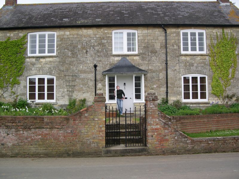
House, mid C19. Coursed, squared rubble, tiled roof with end brick stacks. 2 storeys, 3 window range. 2 and 3-light casements with horizontal glazing bars. Tent porch apparently reset on C20 structure. Openings under segmental stone heads. Included for group value.
Listing NGR: ST7864816209
External links are from the relevant listing authority and, where applicable, Wikidata. Wikidata IDs may be related buildings as well as this specific building. If you want to add or update a link, you will need to do so by editing the Wikidata entry.


Other nearby listed buildings