Latitude: 51.9815 / 51°58'53"N
Longitude: -0.5697 / 0°34'10"W
OS Eastings: 498327
OS Northings: 232412
OS Grid: SP983324
Mapcode National: GBR F2G.LT0
Mapcode Global: VHFQZ.2GNB
Plus Code: 9C3XXCJJ+H4
Entry Name: School House
Listing Date: 23 January 1961
Grade: II
Source: Historic England
Source ID: 1113965
English Heritage Legacy ID: 38147
ID on this website: 101113965
Location: Central Bedfordshire, MK17
County: Central Bedfordshire
Civil Parish: Eversholt
Traditional County: Bedfordshire
Lieutenancy Area (Ceremonial County): Bedfordshire
Church of England Parish: Eversholt
Church of England Diocese: St.Albans
Tagged with: House
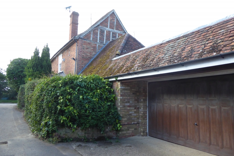
SP 9832-9932 EVERSHOLT CHURCH END 11/44 23.1.61 School House GV II House. Earlier C18, probably reworking of an earlier structure. Red brick, with some timber framing visible to rear gable. Clay tile roof, hipped at NE corner, with sprocketed eaves. L-plan, 2 storeys. Asymmetrical front elevation, with irregular fenestration. Flush sashes with glazing bars, 4 to each floor, ground floor ones under cambered heads. 2 sashes flanking door are narrow, with thick early glazing bars. Part-glazed door in simply moulded architrave surround. C20 pedimented open porch on panelled piers and pilasters with urn decorations. RH side elevation has 6-fielded-panel door and 2 flush sashes with glazing bars. Single storeyed outbuilding adjoins rear gable. Red brick ridge stack.
Listing NGR: SP9832732412
External links are from the relevant listing authority and, where applicable, Wikidata. Wikidata IDs may be related buildings as well as this specific building. If you want to add or update a link, you will need to do so by editing the Wikidata entry.


Other nearby listed buildings