Approximate Location Map
Large Map »
Latitude: 50.684 / 50°41'2"N
Longitude: -2.1092 / 2°6'33"W
OS Eastings: 392378
OS Northings: 87155
OS Grid: SY923871
Mapcode National: GBR 330.1KQ
Mapcode Global: FRA 67G8.J2T
Plus Code: 9C2VMVMR+J8
Entry Name: Quayside to River Frome
Listing Date: 8 April 1976
Grade: II
Source: Historic England
Source ID: 1119958
English Heritage Legacy ID: 108044
ID on this website: 101119958
Location: Wareham, Dorset, BH20
County: Dorset
Civil Parish: Wareham Town
Built-Up Area: Wareham
Traditional County: Dorset
Lieutenancy Area (Ceremonial County): Dorset
Church of England Parish: Wareham Lady St Mary
Church of England Diocese: Salisbury
Tagged with: Building
1.
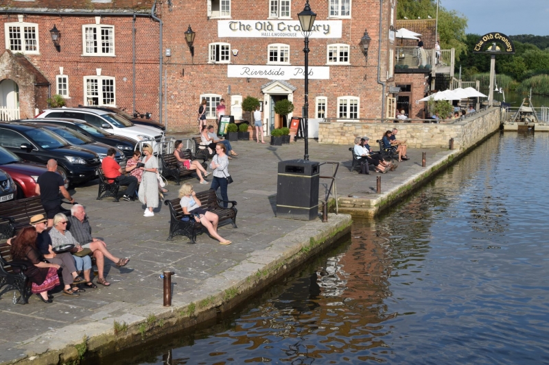
5190 THE QUAY
(South Side)
Quayside to River Frome
SY 9287 1/181
II GV
2.
Probably C18. Purbeck stone kerbstones. The Quayside was repaired in 1745, but
altered in mid C19.
All the listed buildings in The Quay form a group.
Listing NGR: SY9238087154
External links are from the relevant listing authority and, where applicable, Wikidata. Wikidata IDs may be related buildings as well as this specific building. If you want to add or update a link, you will need to do so by editing the Wikidata entry.


Other nearby listed buildings
