Latitude: 54.6256 / 54°37'32"N
Longitude: -2.0824 / 2°4'56"W
OS Eastings: 394777
OS Northings: 525606
OS Grid: NY947256
Mapcode National: GBR FGWY.YN
Mapcode Global: WHB3X.ZZKV
Plus Code: 9C6VJWG9+62
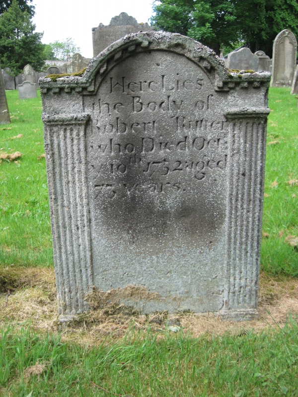
Entry Name: Rutter Tomb Circa 25 Metres South of Church of St Mary
Listing Date: 26 November 1987
Grade: II
Source: Historic England
Source ID: 1121598
English Heritage Legacy ID: 111946
ID on this website: 101121598
Location: St Mary's Church, Middleton-in-Teesdale, County Durham, DL12
County: County Durham
Civil Parish: Middleton in Teesdale
Built-Up Area: Middleton-in-Teesdale
Traditional County: Durham
Lieutenancy Area (Ceremonial County): County Durham
Church of England Parish: Middleton-in-Teesdale
Church of England Diocese: Durham
Tagged with: Building
MIDDLETON IN TEESDALE TOWN HEAD NY 9425 (East side) 24/145 Rutter tomb circa 25 metres south of Church of St. Mary GV II Headstone. Circa 1752 to Robert Rutter. Sandstone slab c.one metre high with dome-headed centre flanked by fluted pilasters. Continuous dentilled cornice.
Listing NGR: NY9477725606
External links are from the relevant listing authority and, where applicable, Wikidata. Wikidata IDs may be related buildings as well as this specific building. If you want to add or update a link, you will need to do so by editing the Wikidata entry.


Other nearby listed buildings