Latitude: 54.5418 / 54°32'30"N
Longitude: -1.9305 / 1°55'49"W
OS Eastings: 404592
OS Northings: 516284
OS Grid: NZ045162
Mapcode National: GBR GHYX.VN
Mapcode Global: WHB4L.93YJ
Plus Code: 9C6WG3R9+PQ
Entry Name: 25, Low Startforth Road
Listing Date: 28 October 1987
Grade: II
Source: Historic England
Source ID: 1121655
English Heritage Legacy ID: 111771
ID on this website: 101121655
Location: Startforth, County Durham, DL12
County: County Durham
Civil Parish: Startforth
Built-Up Area: Barnard Castle
Traditional County: Yorkshire
Lieutenancy Area (Ceremonial County): County Durham
Tagged with: Building
NZ 0416 SE STARTFORTH LOW STARTFORTH ROAD (East side)
11/180 No. 25
GV II
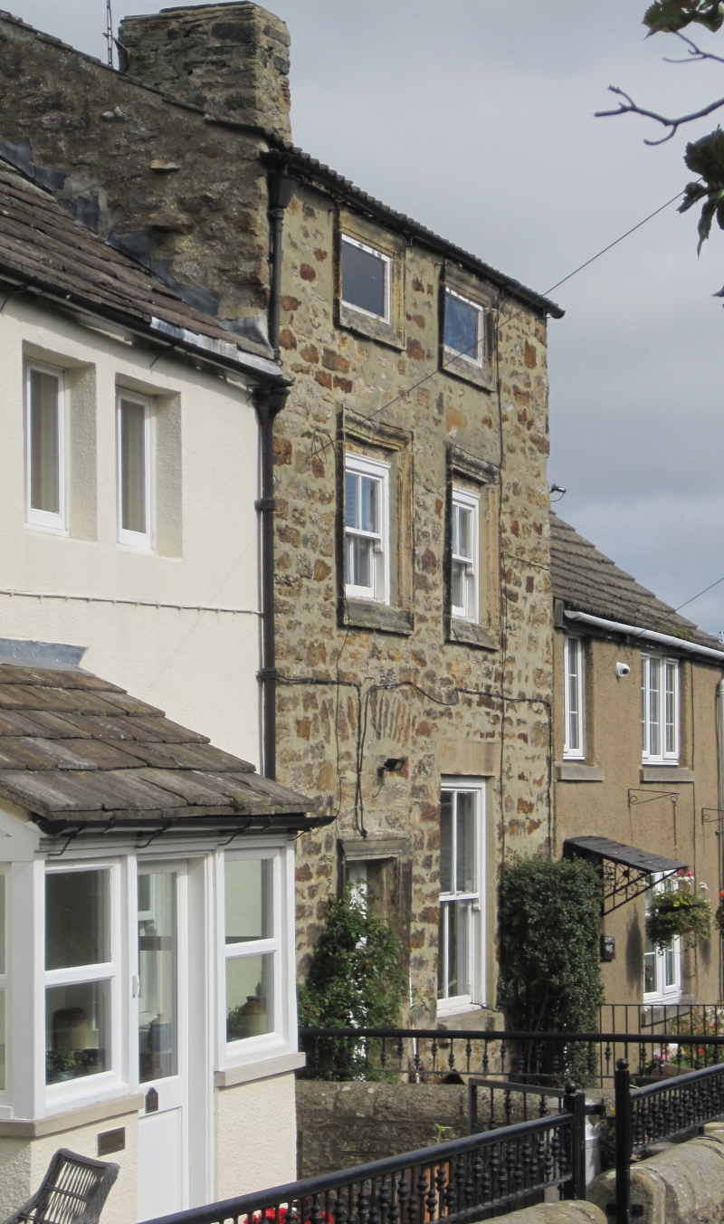
Cottage, mid-C17, part of a larger house. Roof pitch lowered in later C18. Roughly-squared stone with cut dressings; C20 concrete tile roof except for stone slates on outshut kitchen. 2 storeys + attic, 2 narrow bays. Renewed door in left bay in window architrave re-set on lower jambs of original doorway; relieving arch above. 4-pane sash window on right with tooled C19 lintel; original door lintel re-set as sill. 1st floor sashes, lost glazing bars, in architraves. Attic windows, now blocked, in architraves. Old right end stack. Right return shows small blocked attic light.
Rear right stair turret shows 12-pane Yorkshire sash and blocked 2-light flat mullioned window on left return. Left 1-storey kitchen outshut.
Interior: wooden winder stair in turret. 1st floor C17 ceiling of 6 square panels, with moulded plastered beams; central beam on a massive stone corbel in south wall. Roof has two nailed collar-beam trusses, re-using older timbers.
Extended further west until the later Cl8, when the adjacent No. 23 was built.
Listing NGR: NZ0459216284
External links are from the relevant listing authority and, where applicable, Wikidata. Wikidata IDs may be related buildings as well as this specific building. If you want to add or update a link, you will need to do so by editing the Wikidata entry.


Other nearby listed buildings