Approximate Location Map
Large Map »
Latitude: 51.9768 / 51°58'36"N
Longitude: 0.5857 / 0°35'8"E
OS Eastings: 577685
OS Northings: 234084
OS Grid: TL776340
Mapcode National: GBR PGS.4VG
Mapcode Global: VHJHZ.3KGY
Plus Code: 9F32XHGP+P7
Entry Name: The Croft
Listing Date: 15 October 1984
Grade: II
Source: Historic England
Source ID: 1122894
English Heritage Legacy ID: 114751
ID on this website: 101122894
Location: Sible Hedingham, Braintree, Essex, CO9
County: Essex
District: Braintree
Civil Parish: Sible Hedingham
Built-Up Area: Sible Hedingham
Traditional County: Essex
Lieutenancy Area (Ceremonial County): Essex
Church of England Parish: Sible Hedingham St Peter
Church of England Diocese: Chelmsford
Tagged with: Building
TL 7734 SIBLE HEDINGHAM CHURCH STREET
(East Side)
9/232 No. 12 (The Croft)
GV II
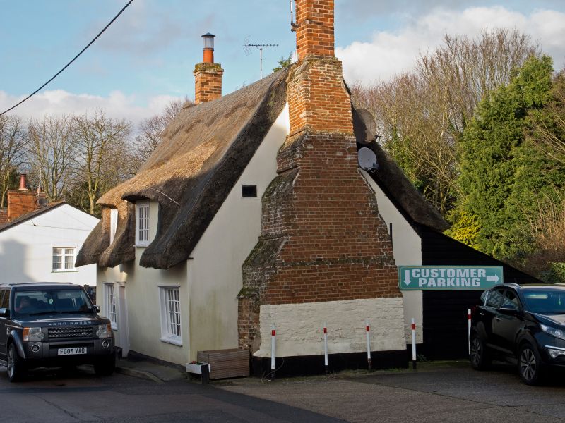
Cottage. C16/C17 or earlier. Timber framed and plastered. Corrugated iron
roof. Right and left red brick external chimney stacks, that to right large
with tabled off-sets. Two storeys. Two window range of C19 casements and
horizontal sliding sashes. Pentice boards to ground floor. Central recessed
vertically boarded door with pentice board. RCHM 9.
Listing NGR: TL7768534084
External links are from the relevant listing authority and, where applicable, Wikidata. Wikidata IDs may be related buildings as well as this specific building. If you want to add or update a link, you will need to do so by editing the Wikidata entry.


Other nearby listed buildings
