Approximate Location Map
Large Map »
Latitude: 51.8912 / 51°53'28"N
Longitude: 0.9016 / 0°54'5"E
OS Eastings: 599762
OS Northings: 225388
OS Grid: TL997253
Mapcode National: GBR SN5.DS4
Mapcode Global: VHKFZ.LQ0K
Plus Code: 9F32VWR2+FM
Entry Name: St Helen's Chapel
Listing Date: 24 February 1950
Grade: II
Source: Historic England
Source ID: 1123558
English Heritage Legacy ID: 117095
ID on this website: 101123558
Location: Colchester, Essex, CO1
County: Essex
District: Colchester
Electoral Ward/Division: Castle
Parish: Non Civil Parish
Built-Up Area: Colchester
Traditional County: Essex
Lieutenancy Area (Ceremonial County): Essex
Church of England Parish: Colchester St Botolph with Holy Trinity (LEP)
Church of England Diocese: Chelmsford
Tagged with: Chapel
1. MAIDENBURGH STREET
995 (West Side)
TL 9925 SE 5/157 St Helen's Chapel
24.2.50.
II
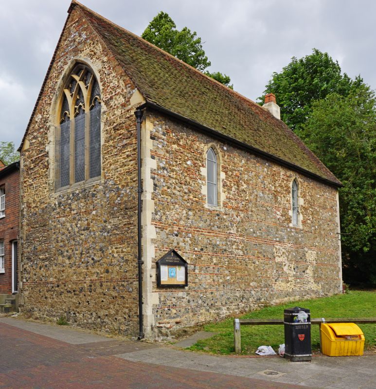
2.
Rebuilt in circa 1290 but probably of C12 or earlier origin. Built of
rubble with bonding courses of flat bricks. It has been much restored
and partly rebuilt in modern times. There are some C13 windows. Used
for storage purposes.
Listing NGR: TL9976225388
External links are from the relevant listing authority and, where applicable, Wikidata. Wikidata IDs may be related buildings as well as this specific building. If you want to add or update a link, you will need to do so by editing the Wikidata entry.


Other nearby listed buildings
