Latitude: 51.5352 / 51°32'6"N
Longitude: -0.6148 / 0°36'53"W
OS Eastings: 496170
OS Northings: 182718
OS Grid: SU961827
Mapcode National: GBR F7T.MCM
Mapcode Global: VHFT2.9N9Z
Plus Code: 9C3XG9PP+33
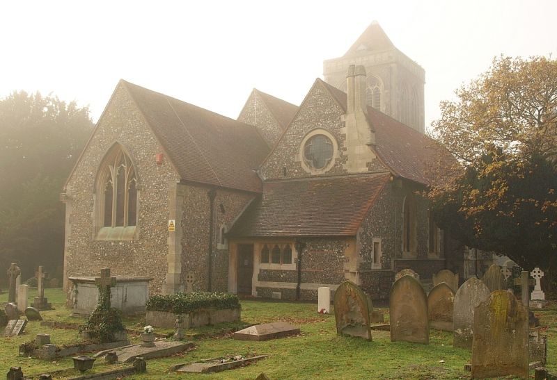
Entry Name: Church of St Mary
Listing Date: 23 September 1955
Grade: II
Source: Historic England
Source ID: 1124413
English Heritage Legacy ID: 44055
ID on this website: 101124413
Location: St Mary's Church, Farnham Royal, Buckinghamshire, SL2
County: Buckinghamshire
Civil Parish: Farnham Royal
Built-Up Area: Slough
Traditional County: Buckinghamshire
Lieutenancy Area (Ceremonial County): Buckinghamshire
Church of England Parish: Farnham Royal
Church of England Diocese: Oxford
Tagged with: Church building
SU 98 SE FARNHAM ROYAL CHURCH ROAD
8/455 Church of St Mary
23.9.55
- II
Parish Church. C12 chancel; otherwise of 1867-9 by Eden Nesfield. RCHM i,
p.154.
Listing NGR: SU9617082718
External links are from the relevant listing authority and, where applicable, Wikidata. Wikidata IDs may be related buildings as well as this specific building. If you want to add or update a link, you will need to do so by editing the Wikidata entry.


Other nearby listed buildings