Approximate Location Map
Large Map »
Latitude: 51.5314 / 51°31'52"N
Longitude: -0.6891 / 0°41'20"W
OS Eastings: 491029
OS Northings: 182199
OS Grid: SU910821
Mapcode National: GBR F7Q.SQV
Mapcode Global: VHFT1.0RKX
Plus Code: 9C3XG8J6+G9
Entry Name: Stables of Old Rectory
Listing Date: 26 April 1985
Grade: II
Source: Historic England
Source ID: 1125018
English Heritage Legacy ID: 44307
ID on this website: 101125018
Location: Taplow, Buckinghamshire, SL6
County: Buckinghamshire
Civil Parish: Taplow
Built-Up Area: Taplow
Traditional County: Buckinghamshire
Lieutenancy Area (Ceremonial County): Buckinghamshire
Church of England Parish: Taplow
Church of England Diocese: Oxford
Tagged with: Stable
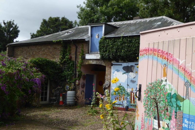
SU 9182 TAPLOW RECTORY ROAD
17/704 Stables of Old Rectory
-
- II
C19. Stock brick; slate-hipped roof. Central recessed entrance with loft door
over. On right hand 2 pairs of carriage doors. On left hand 2 louvred windows
with cambered relieving arches. Stock brick wall Joins house with stables.
Listing NGR: SU9102982199
External links are from the relevant listing authority and, where applicable, Wikidata. Wikidata IDs may be related buildings as well as this specific building. If you want to add or update a link, you will need to do so by editing the Wikidata entry.


Other nearby listed buildings
