Latitude: 52.2103 / 52°12'37"N
Longitude: 0.1134 / 0°6'48"E
OS Eastings: 544496
OS Northings: 259002
OS Grid: TL444590
Mapcode National: GBR L78.KG9
Mapcode Global: VHHK2.XP9Y
Plus Code: 9F426467+49
Entry Name: The Merton Arms Public House
Listing Date: 2 November 1972
Grade: II
Source: Historic England
Source ID: 1126112
English Heritage Legacy ID: 47652
ID on this website: 101126112
Location: Cambridge, Cambridgeshire, CB3
County: Cambridgeshire
District: Cambridge
Electoral Ward/Division: Castle
Parish: Non Civil Parish
Built-Up Area: Cambridge
Traditional County: Cambridgeshire
Lieutenancy Area (Ceremonial County): Cambridgeshire
Church of England Parish: Cambridge The Ascension
Church of England Diocese: Ely
Tagged with: Pub
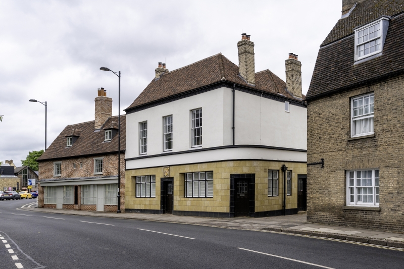
NORTHAMPTON STREET 1. 942 (South Side) No 25 (The Merton Arms Public House) TL 4458 NE 3/602 TL 4459 15/602 TL 4458 16/602 II GV 2. C18. Timber-framed with C20 public house frontage, plastered above. 2 storeys, 3 windows, sashes with glazing bars. Hipped tile roof. Nos 1 to 19 (consec) and Nos 21 to 30 (consec) form a group.
Listing NGR: TL4449659002
External links are from the relevant listing authority and, where applicable, Wikidata. Wikidata IDs may be related buildings as well as this specific building. If you want to add or update a link, you will need to do so by editing the Wikidata entry.


Other nearby listed buildings