Approximate Location Map
Large Map »
Latitude: 52.204 / 52°12'14"N
Longitude: 0.1185 / 0°7'6"E
OS Eastings: 544864
OS Northings: 258307
OS Grid: TL448583
Mapcode National: GBR L79.SXH
Mapcode Global: VHHK3.0VHT
Plus Code: 9F426439+H9
Entry Name: Culpeper House
Listing Date: 2 November 1972
Grade: II
Source: Historic England
Source ID: 1126254
English Heritage Legacy ID: 47341
ID on this website: 101126254
Location: Cambridge, Cambridgeshire, CB2
County: Cambridgeshire
District: Cambridge
Electoral Ward/Division: Market
Parish: Non Civil Parish
Built-Up Area: Cambridge
Traditional County: Cambridgeshire
Lieutenancy Area (Ceremonial County): Cambridgeshire
Church of England Parish: Cambridge St Benedict
Church of England Diocese: Ely
Tagged with: House
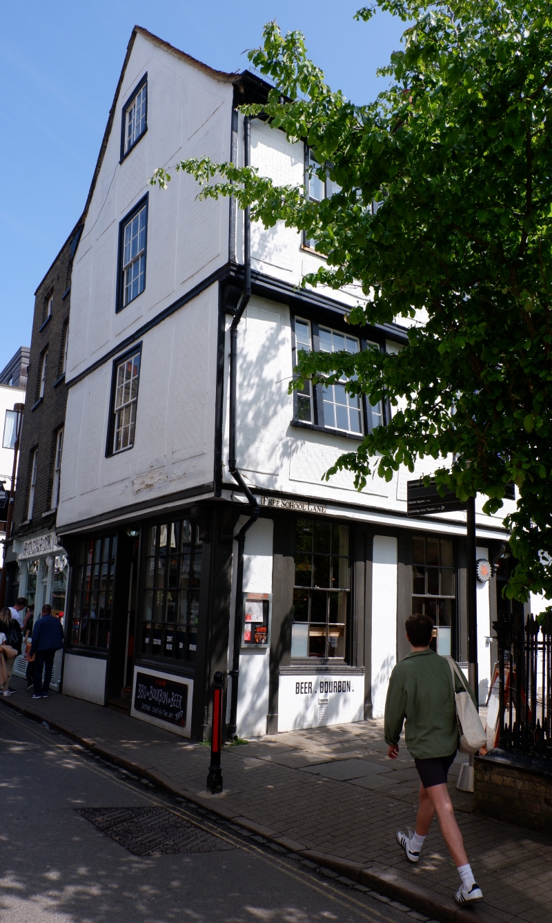
BENE'T STREET
1.
942
(South Side)
No 13
(Culpeper House)
TL 4458 SE 6/26
II GV
2.
Early C19; 4 storeys; gault brick parapet; 2 windows, glazing bars. In
harmony with character of the street.
[Nos l0, 12, l3 and the Church of St Beenene't form.a group.
Listing NGR: TL4486458307
External links are from the relevant listing authority and, where applicable, Wikidata. Wikidata IDs may be related buildings as well as this specific building. If you want to add or update a link, you will need to do so by editing the Wikidata entry.


Other nearby listed buildings
