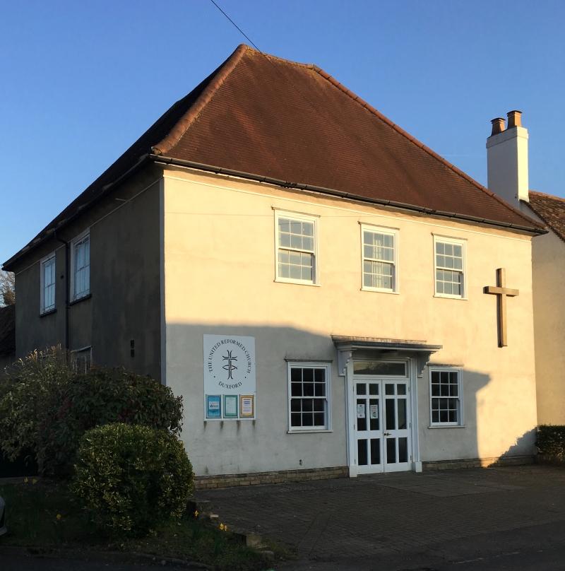
Latitude: 52.0934 / 52°5'36"N
Longitude: 0.1589 / 0°9'32"E
OS Eastings: 547994
OS Northings: 246090
OS Grid: TL479460
Mapcode National: GBR L8P.QZF
Mapcode Global: VHHKP.PNW2
Plus Code: 9F4235V5+8H
Entry Name: United Reformed Chapel
Listing Date: 17 December 1986
Grade: II
Source: Historic England
Source ID: 1128117
English Heritage Legacy ID: 52877
ID on this website: 101128117
Location: Duxford, South Cambridgeshire, CB22
County: Cambridgeshire
District: South Cambridgeshire
Civil Parish: Duxford
Built-Up Area: Duxford
Traditional County: Cambridgeshire
Lieutenancy Area (Ceremonial County): Cambridgeshire
Church of England Parish: Duxford St Peter
Church of England Diocese: Ely
Tagged with: Chapel
TL 4646 TL 4846 DUXFORD CHAPEL STREET (East Side) 15/47 16/47 United Reformed Chapel GV II Chapel. 1794, extended in 1859. Timber-framed and roughcast, C19 gault brick. C20 plain tiled and ridge pantiled hipped and gabled roofs. Galleried single storey with school room and vestry. Gabled entrance facade with rusticated brick quoins of three equal 'bays'. Entrance with double panelled doors shaped to round triple-recessed arch. Windows in round headed recessed brick panels; two ground floor twelve-paned hung sash windows with stone cills and three large round headed hung sash gallery windows. C19 interior. Kelly Directories V.C.H., Vol. VI, p218
Listing NGR: TL4799446090
External links are from the relevant listing authority and, where applicable, Wikidata. Wikidata IDs may be related buildings as well as this specific building. If you want to add or update a link, you will need to do so by editing the Wikidata entry.


Other nearby listed buildings