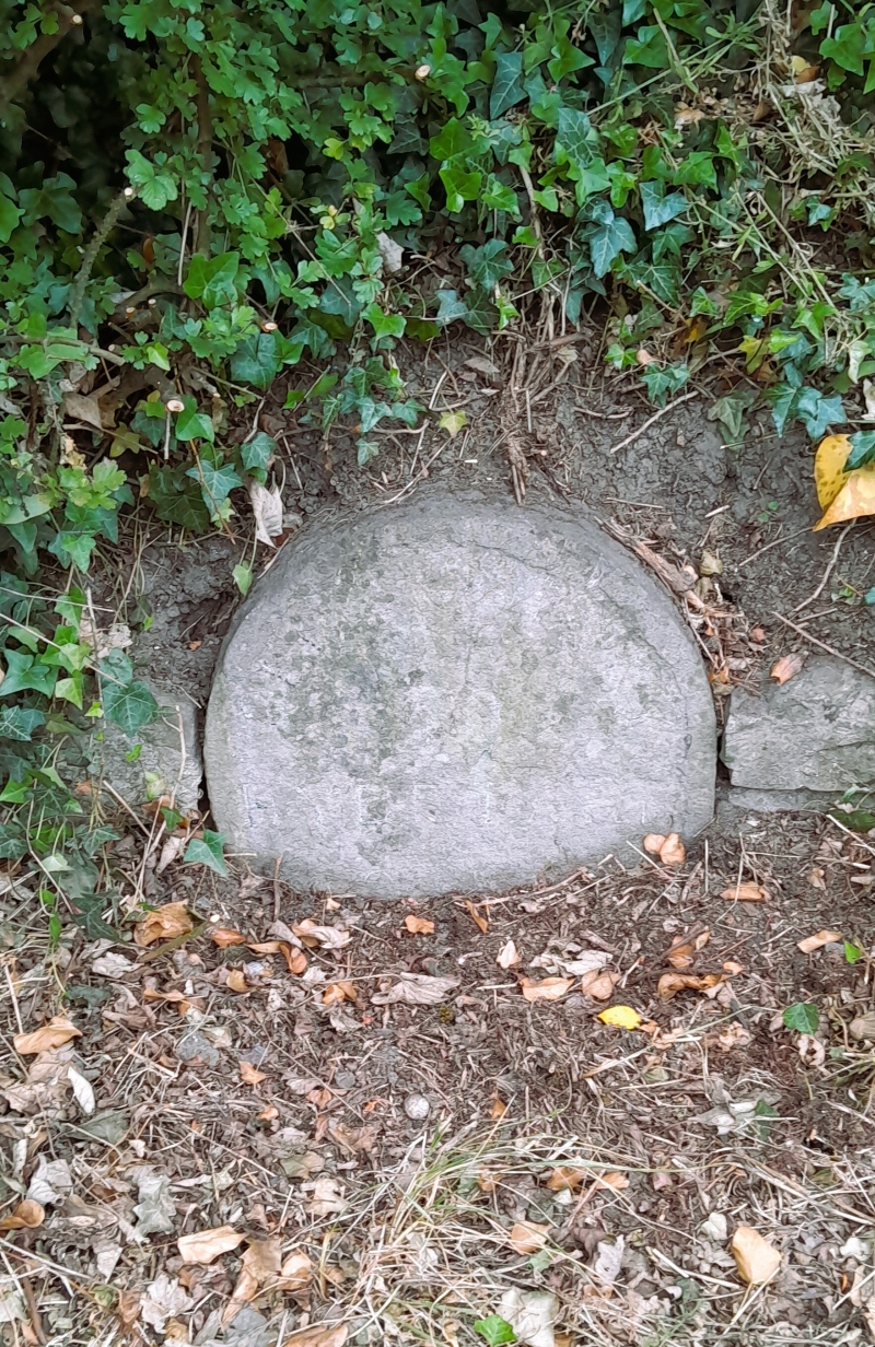
Latitude: 51.5302 / 51°31'48"N
Longitude: -2.3526 / 2°21'9"W
OS Eastings: 375637
OS Northings: 181314
OS Grid: ST756813
Mapcode National: GBR 0NS.014
Mapcode Global: VH95V.5SMT
Plus Code: 9C3VGJJW+3X
Entry Name: Milestone, About 100 Yards South of Junction with Church Lane
Listing Date: 29 July 1983
Grade: II
Source: Historic England
Source ID: 1129240
English Heritage Legacy ID: 34054
ID on this website: 101129240
Location: Coomb's End, South Gloucestershire, BS37
County: South Gloucestershire
Civil Parish: Sodbury
Built-Up Area: Old Sodbury
Traditional County: Gloucestershire
Lieutenancy Area (Ceremonial County): Gloucestershire
Church of England Parish: Old Sodbury St John the Baptist
Church of England Diocese: Gloucester
Tagged with: Milestone
ST 78 SE SODBURY BADMINTON ROAD 2/7 (north side) OLD SODBURY
Milestone, about 100 yds south of junction with Church Lane
II
Mid-C18. Stone slab with semi-circular head. Incised lettering:
"OLD SODBURY TO HYDE PARK CORNER 106 MILES 14 MILES TO BRISTOL"
(lower line partly eroded).
Listing NGR: ST7563781314
External links are from the relevant listing authority and, where applicable, Wikidata. Wikidata IDs may be related buildings as well as this specific building. If you want to add or update a link, you will need to do so by editing the Wikidata entry.


Other nearby listed buildings