Latitude: 51.1045 / 51°6'16"N
Longitude: -2.3206 / 2°19'14"W
OS Eastings: 377648
OS Northings: 133962
OS Grid: ST776339
Mapcode National: GBR 0TV.N3V
Mapcode Global: VH97Z.QHJM
Plus Code: 9C3V4M3H+RQ
Entry Name: Churchyard Cross About 10 Metres North East of Chancel of Church of St Peter
Listing Date: 6 January 1966
Grade: II
Source: Historic England
Source ID: 1131098
English Heritage Legacy ID: 321247
ID on this website: 101131098
Location: St Peter's Church, Stourton, Wiltshire, BA12
County: Wiltshire
Civil Parish: Stourton with Gasper
Traditional County: Wiltshire
Lieutenancy Area (Ceremonial County): Wiltshire
Church of England Parish: Upper Stour
Church of England Diocese: Salisbury
Tagged with: Churchyard cross
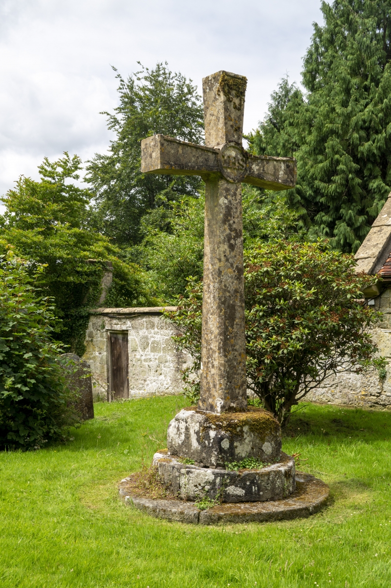
STOURTON WITH GASPER HIGH STREET ST 73 SE (south side) 6/141 Churchyard cross about 10m north- east of Chancel of Church of 6.1.66 St Peter GV II Churchyard cross. Late Medieval and c1900. Limestone. Circular plinth to square base with chamfered corners chamfered square section Latin cross with moulded faces and letters IHS in circle at intersection.
Listing NGR: ST7764833962
External links are from the relevant listing authority and, where applicable, Wikidata. Wikidata IDs may be related buildings as well as this specific building. If you want to add or update a link, you will need to do so by editing the Wikidata entry.


Other nearby listed buildings