Approximate Location Map
Large Map »
Latitude: 54.405 / 54°24'18"N
Longitude: -1.7333 / 1°44'0"W
OS Eastings: 417407
OS Northings: 501097
OS Grid: NZ174010
Mapcode National: GBR JKBH.JP
Mapcode Global: WHC6D.BJVW
Plus Code: 9C6WC748+2M
Entry Name: Wall and Gates to Parish Church of St Mary
Listing Date: 15 October 1973
Grade: II
Source: Historic England
Source ID: 1131266
English Heritage Legacy ID: 322923
ID on this website: 101131266
Location: Richmond, North Yorkshire, DL10
County: North Yorkshire
District: Richmondshire
Civil Parish: Richmond
Built-Up Area: Richmond
Traditional County: Yorkshire
Lieutenancy Area (Ceremonial County): North Yorkshire
Church of England Parish: Richmond with Holy Trinity with Hudswell
Church of England Diocese: Leeds
Tagged with: Wall
1. CHURCH WYND
1549 Wall and gates to
Parish Church of
St Mary
NZ 1701 SW 3/53A
II GV
2.
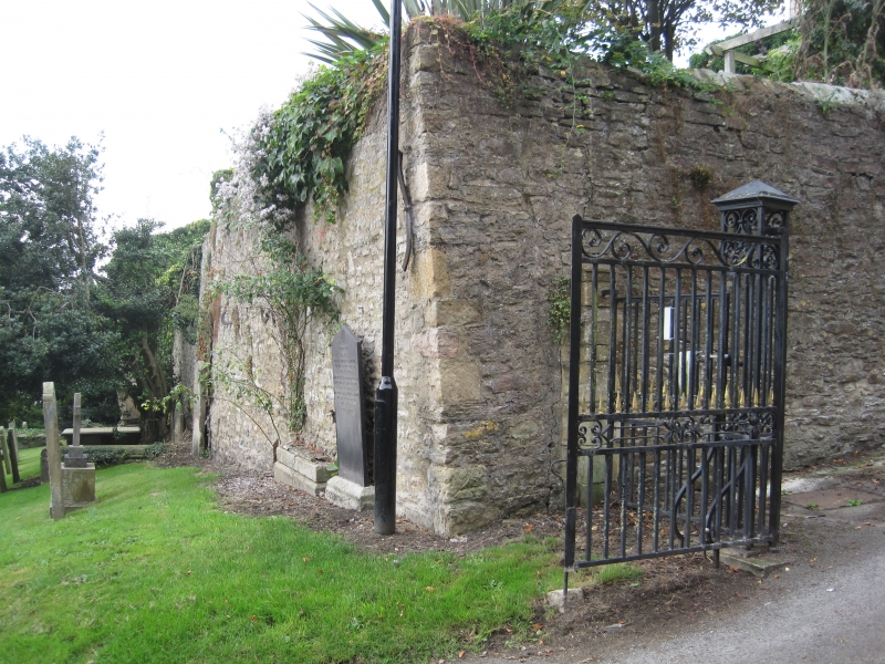
High wall and early C20 iron gates Included solely as part of group.
Church of St Mary. Wall and Gates form a group
Listing NGR: NZ1740701097
External links are from the relevant listing authority and, where applicable, Wikidata. Wikidata IDs may be related buildings as well as this specific building. If you want to add or update a link, you will need to do so by editing the Wikidata entry.


Other nearby listed buildings
