Latitude: 54.2934 / 54°17'36"N
Longitude: -1.9671 / 1°58'1"W
OS Eastings: 402238
OS Northings: 488646
OS Grid: SE022886
Mapcode National: GBR GLPS.XP
Mapcode Global: WHB5Q.RBGX
Plus Code: 9C6W72VM+95
Entry Name: Boundary Stone
Listing Date: 6 April 1988
Grade: II
Source: Historic England
Source ID: 1131423
English Heritage Legacy ID: 322492
ID on this website: 101131423
Location: North Yorkshire, DL8
County: North Yorkshire
District: Richmondshire
Civil Parish: Burton-cum-Walden
Traditional County: Yorkshire
Lieutenancy Area (Ceremonial County): North Yorkshire
Tagged with: Boundary marker
5339
SE 08 NW
2/11
BURTON-CUM-WALDEN
A 684
(north side)
Boundary Stone
II
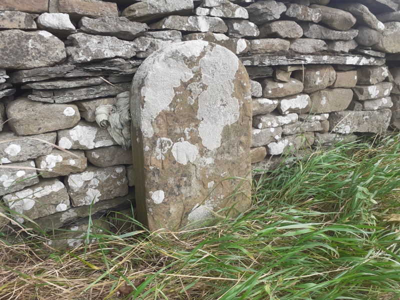
Boundary stone. Early C19. Ashlar sandstone. Stone approximately 500mm
high, with rounded top. Weathered inscription, probably "Here ends Thoralby
Road".
Listing NGR: SE0223888646
External links are from the relevant listing authority and, where applicable, Wikidata. Wikidata IDs may be related buildings as well as this specific building. If you want to add or update a link, you will need to do so by editing the Wikidata entry.


Other nearby listed buildings