Latitude: 54.204 / 54°12'14"N
Longitude: -1.647 / 1°38'49"W
OS Eastings: 423120
OS Northings: 478754
OS Grid: SE231787
Mapcode National: GBR JMYT.6Q
Mapcode Global: WHC7D.NLWH
Plus Code: 9C6W6933+J5
Entry Name: Dovecote (Approximately 100 Metres to South of Nutwith Cote)
Listing Date: 9 August 1966
Grade: II
Source: Historic England
Source ID: 1132065
English Heritage Legacy ID: 324996
ID on this website: 101132065
Location: North Yorkshire, HG4
County: North Yorkshire
District: Harrogate
Civil Parish: Burton-on-Yore
Traditional County: Yorkshire
Lieutenancy Area (Ceremonial County): North Yorkshire
Tagged with: Dovecote
SE 27 NW
6/8
9.8.66
BURTON-UPON-URE
GREWELTHORPE ROAD
(east side, off)
Dovecote (approximately 100 metres to south of Nutwith Cote)
GV
II
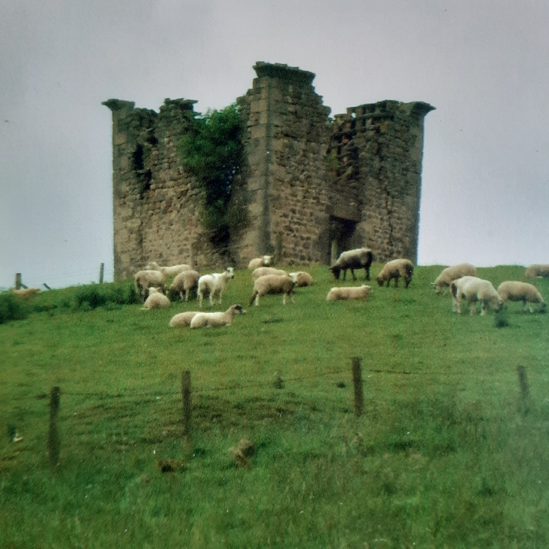
Dovecote. Early to mid C18. Rubblestone with ashlar dressings. Square in
plan. Quoins. Doorway with lintel; above, partially ruined oval window
opening. Coved stone cornice. In state of dereliction at time of resurvey.
Listing NGR: SE2312078754
External links are from the relevant listing authority and, where applicable, Wikidata. Wikidata IDs may be related buildings as well as this specific building. If you want to add or update a link, you will need to do so by editing the Wikidata entry.


Other nearby listed buildings