Approximate Location Map
Large Map »
Latitude: 53.642 / 53°38'31"N
Longitude: -1.7953 / 1°47'43"W
OS Eastings: 413631
OS Northings: 416186
OS Grid: SE136161
Mapcode National: GBR HVXB.35
Mapcode Global: WHCB1.DQBB
Plus Code: 9C5WJ6R3+RV
Entry Name: 162, Manchester Road
Listing Date: 29 September 1978
Grade: II
Source: Historic England
Source ID: 1134951
English Heritage Legacy ID: 340213
ID on this website: 101134951
Location: Thornton Lodge, Kirklees, West Yorkshire, HD1
County: Kirklees
Electoral Ward/Division: Newsome
Parish: Non Civil Parish
Built-Up Area: Huddersfield
Traditional County: Yorkshire
Lieutenancy Area (Ceremonial County): West Yorkshire
Church of England Parish: Huddersfield All Saints and St Thomas
Church of England Diocese: Leeds
Tagged with: Building
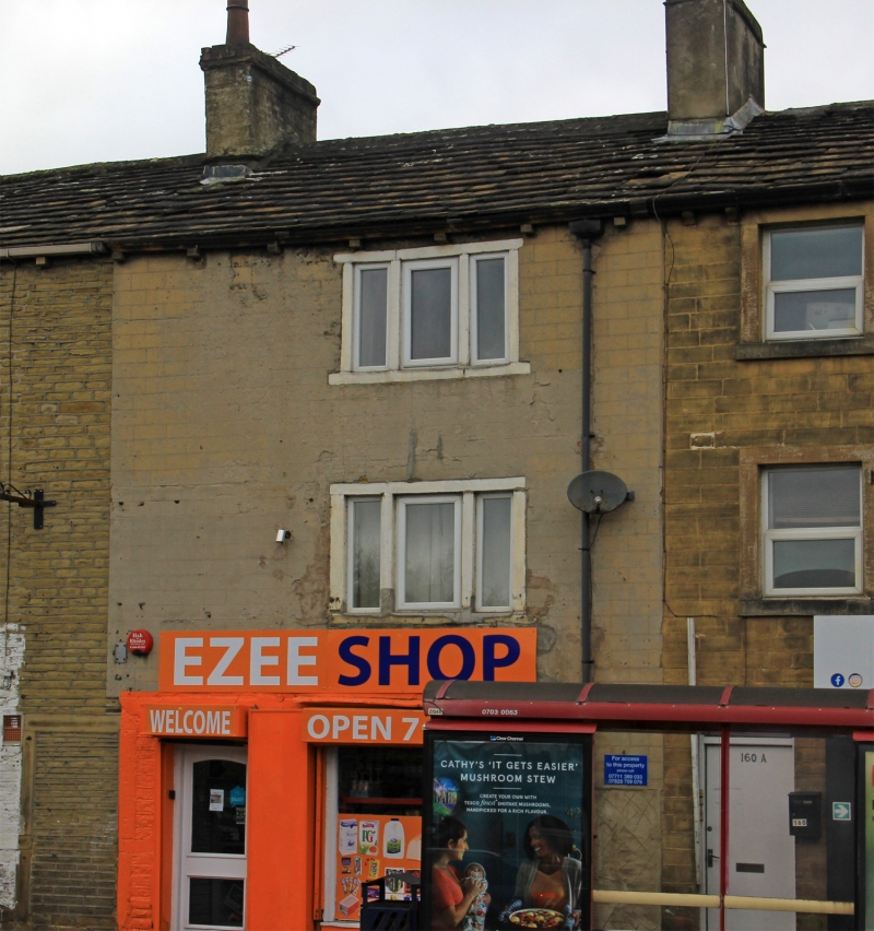
MANCHESTER ROAD
1.
5113
(North Side)
No 162
SE 1316 33/891
II GV
2.
Early C19. Rendered. Pitched stone slate roof. 3 storeys. Stone brackets
to gutter. One range of 3-light stone mullioned sashes. Shop window with
moulded cornice.
Listing NGR: SE1363116186
External links are from the relevant listing authority and, where applicable, Wikidata. Wikidata IDs may be related buildings as well as this specific building. If you want to add or update a link, you will need to do so by editing the Wikidata entry.


Other nearby listed buildings
