Latitude: 53.8674 / 53°52'2"N
Longitude: -1.3831 / 1°22'59"W
OS Eastings: 440662
OS Northings: 441414
OS Grid: SE406414
Mapcode National: GBR LRSQ.CD
Mapcode Global: WHDBD.Q2K1
Plus Code: 9C5WVJ88+WQ
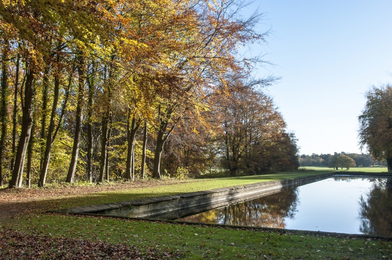
Entry Name: T Pond at Junction of Walks Approximately 350 Metres South West of Bramham Park House
Listing Date: 30 March 1966
Last Amended: 3 December 1986
Grade: I
Source: Historic England
Source ID: 1135642
English Heritage Legacy ID: 342199
Also known as: T Pond
ID on this website: 101135642
Location: Leeds, West Yorkshire, LS23
County: Leeds
Civil Parish: Bramham cum Oglethorpe
Traditional County: Yorkshire
Lieutenancy Area (Ceremonial County): West Yorkshire
Church of England Parish: Lower Wharfe
Church of England Diocese: York
Tagged with: Pond
BRAMHAM CUM OGLETHORPE BRAMHAM PARK SE4051 LS23 7/38 T-Pond at junction 30.3.66 of walks approx. 350 metres south west of Bramham Park house (Formerly listed as Stone surround to T-Pond)
GV I
Formal water. Probably 1728, perhaps by John Wood of Bath. Magnesian limestone surround to the cross of the T, earthen bank to the stem. Long stem or canal running from South Terrace of Park, joining rectangular pond off-centre and at an angle of about 60°. Item is an integral component of formal gardens laid out in the French manner of Louis XIV and Le Notre. The stem is aligned with one of the intersecting straight avenues of this garden, the northern end of which frames a view of the house. The southern end of the pond is in the Parish of Barwick in Elmet.
Listing NGR: SE4066241414
External links are from the relevant listing authority and, where applicable, Wikidata. Wikidata IDs may be related buildings as well as this specific building. If you want to add or update a link, you will need to do so by editing the Wikidata entry.


Other nearby listed buildings