Latitude: 54.6906 / 54°41'26"N
Longitude: -3.3719 / 3°22'18"W
OS Eastings: 311664
OS Northings: 533700
OS Grid: NY116337
Mapcode National: GBR 4GW6.SB
Mapcode Global: WH6ZQ.5CLH
Plus Code: 9C6RMJRH+66
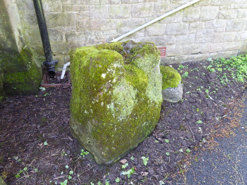
Entry Name: Cross Base at East End of Church of St Bride
Listing Date: 5 September 1986
Grade: II
Source: Historic England
Source ID: 1138072
English Heritage Legacy ID: 72570
ID on this website: 101138072
Location: St Bridget's Church, Bridekirk, Cumberland, Cumbria, CA13
County: Cumberland
District: Allerdale
Civil Parish: Bridekirk
Traditional County: Cumberland
Lieutenancy Area (Ceremonial County): Cumbria
Church of England Parish: Cockermouth Area Team
Church of England Diocese: Carlisle
Tagged with: Monumental cross
BRIDEKIRK BRIDEKIRK NY 13 SW 5/45 Cross base at east end of Church of St Bride II Cross base. Mediaval Calciferous sandstone. Socket stone, one side broken, giving the appearance of having been used as a seat. Has group value with Church of St Bride.
Listing NGR: NY1166433700
External links are from the relevant listing authority and, where applicable, Wikidata. Wikidata IDs may be related buildings as well as this specific building. If you want to add or update a link, you will need to do so by editing the Wikidata entry.


Other nearby listed buildings