Latitude: 54.5291 / 54°31'44"N
Longitude: -1.0202 / 1°1'12"W
OS Eastings: 463503
OS Northings: 515309
OS Grid: NZ635153
Mapcode National: GBR PJ92.X7
Mapcode Global: WHF8F.9FD8
Plus Code: 9C6WGXHH+JW
Entry Name: Outbuilding and Adjoining Wall, 20 Metres to North East of Old Park Farmhouse
Listing Date: 25 April 1984
Grade: II
Source: Historic England
Source ID: 1139708
English Heritage Legacy ID: 60097
ID on this website: 101139708
Location: Redcar and Cleveland, North Yorkshire, TS14
County: Redcar and Cleveland
Civil Parish: Guisborough
Traditional County: Yorkshire
Lieutenancy Area (Ceremonial County): North Yorkshire
Church of England Parish: Guisborough St Nicholas
Church of England Diocese: York
Tagged with: Appendage
NZ61NW GUISBOROUGH WHITBY ROAD (OFF SOUTH SIDE)
3/240 Outbuilding and adjoining wall, 20m to N.E. of Old Park Farmhouse.
GV II
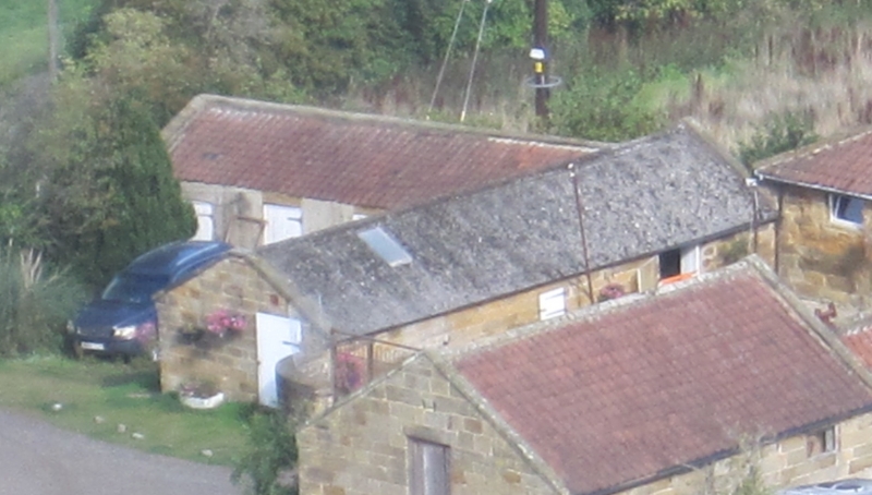
Outbuilding, adjoining S.W. corner of group of farm outbuildings. Mid C19. Dressed sandstone; late C20 asbestos sheet roof. Mid C19 wall adjoins this outbuilding and together they form the S. and W. sides of an open yard. Mid C19. Dressed sandstone; curved copings. Brick outbuilding adjoining W. side, is not of interest. Included for group considerations.
Listing NGR: NZ6350315309
External links are from the relevant listing authority and, where applicable, Wikidata. Wikidata IDs may be related buildings as well as this specific building. If you want to add or update a link, you will need to do so by editing the Wikidata entry.


Other nearby listed buildings