Latitude: 50.338 / 50°20'16"N
Longitude: -4.4903 / 4°29'25"W
OS Eastings: 222881
OS Northings: 51641
OS Grid: SX228516
Mapcode National: GBR ND.X4FN
Mapcode Global: FRA 18H4.LGM
Plus Code: 9C2Q8GQ5+6V
Entry Name: Tombchest of William Rundle 12m to - north east of Church of St Tallan
Listing Date: 26 March 1986
Grade: II
Source: Historic England
Source ID: 1140747
English Heritage Legacy ID: 61566
ID on this website: 101140747
Location: St Tallan's Church, Talland, Cornwall, PL13
County: Cornwall
Civil Parish: Polperro
Traditional County: Cornwall
Lieutenancy Area (Ceremonial County): Cornwall
Church of England Parish: Talland
Church of England Diocese: Truro
Tagged with: Tomb
This list entry was subject to a Minor Amendment on 6 August 2025 to amend the name and address and reformat the text to current standards
SX 25 SW
4/98
LANSALLOS
TALLAND
Tombchest of William Rundle 12m to north east of Church of St Tallan
(Formerly listed as Tombchest of William Bundle 12m to north east of Church of St Tallanus)
GV
II
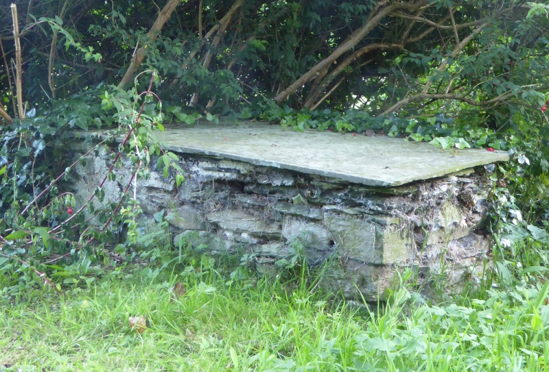
Tombchest. 1779. In memory of William, husband of Mary Rundle of Barton of Henderzick. Stone rubble with slate lid. Slate lid well engraved, decorated with angels head and inscription with lower case lettering with serifs. Two verses below inscription.
Listing NGR: SX2000951911
External links are from the relevant listing authority and, where applicable, Wikidata. Wikidata IDs may be related buildings as well as this specific building. If you want to add or update a link, you will need to do so by editing the Wikidata entry.


Other nearby listed buildings