Latitude: 50.2346 / 50°14'4"N
Longitude: -5.2291 / 5°13'44"W
OS Eastings: 169822
OS Northings: 42170
OS Grid: SW698421
Mapcode National: GBR Z3.D9J4
Mapcode Global: VH12K.9CZH
Plus Code: 9C2P6QMC+R9
Entry Name: 6, Symons Terrace
Listing Date: 12 September 1989
Grade: II
Source: Historic England
Source ID: 1142571
English Heritage Legacy ID: 66869
ID on this website: 101142571
Location: Plain-an-Gwarry, Cornwall, TR15
County: Cornwall
Civil Parish: Redruth
Built-Up Area: Redruth
Traditional County: Cornwall
Lieutenancy Area (Ceremonial County): Cornwall
Church of England Parish: Redruth
Church of England Diocese: Truro
Tagged with: Building
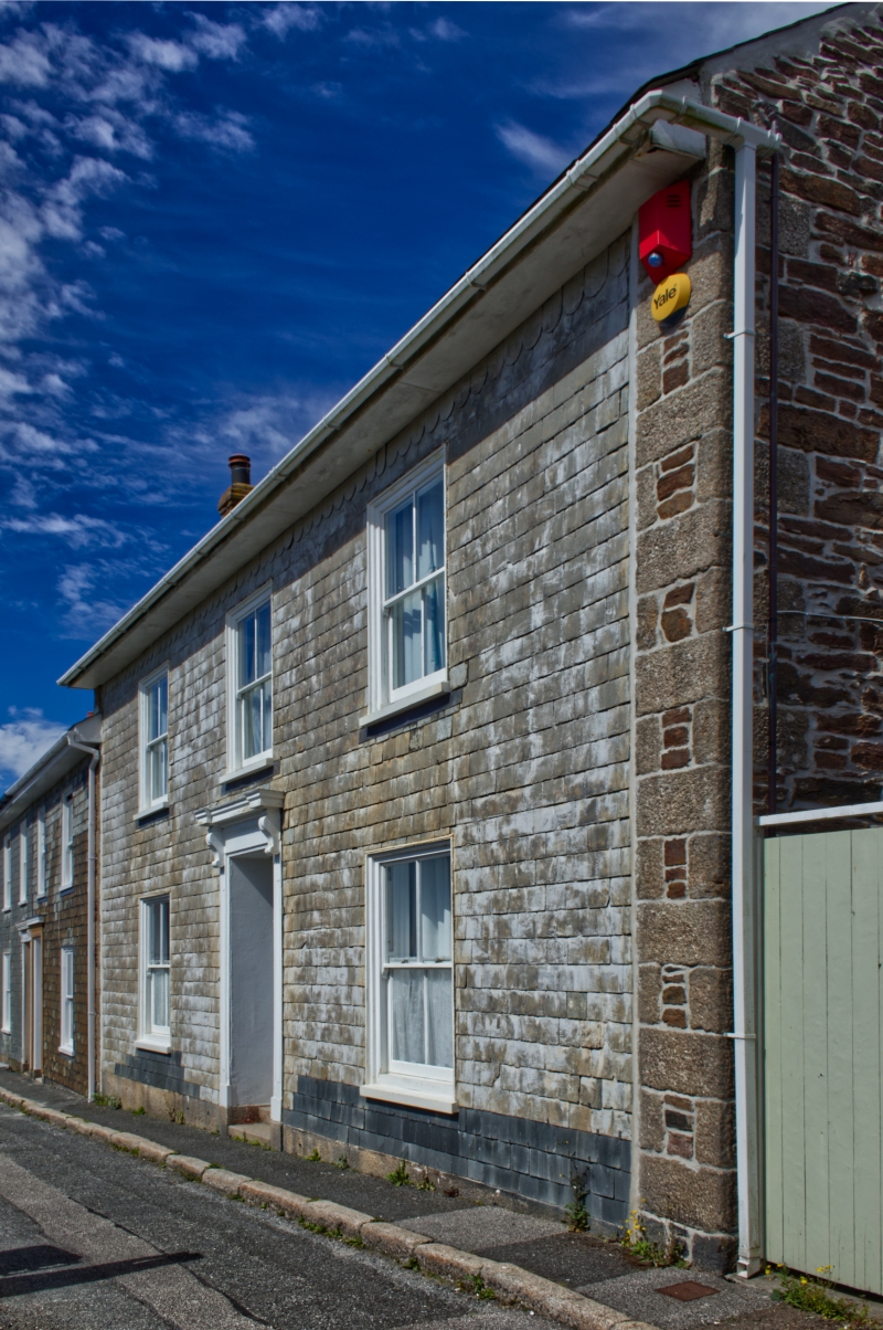
REDRUTH SYMONS TERRACE SE 64 SE (east side) 11/307 No.6 GV II House. Early to mid C19. Cross-wall construction, with stone cross walls and slate-hung front and rear walls, slate roof. Rectangular double-depth plan, with projecting rear stair turret. Two storeys and 3 bays, symmetrical; plinth of granite blocks; central doorway with pilaster jambs, cornice on consoles, and recessed panelled door with rectangular overlight; two 4-pane sashed windows at ground floor and 3 above. Projecting eaves and gable chimneys. Rear: stair turret with tall sashed window, hipped roof. Interior not inspected.
Listing NGR: SW6982242170
External links are from the relevant listing authority and, where applicable, Wikidata. Wikidata IDs may be related buildings as well as this specific building. If you want to add or update a link, you will need to do so by editing the Wikidata entry.


Other nearby listed buildings