Approximate Location Map
Large Map »
Latitude: 50.2141 / 50°12'50"N
Longitude: -5.4803 / 5°28'49"W
OS Eastings: 151802
OS Northings: 40696
OS Grid: SW518406
Mapcode National: GBR DXV3.NJ8
Mapcode Global: VH12D.YWN7
Plus Code: 9C2P6G79+JV
Entry Name: Harbour Lights
Listing Date: 22 December 1972
Grade: II
Source: Historic England
Source ID: 1143374
English Heritage Legacy ID: 68982
ID on this website: 101143374
Location: St Ives, Cornwall, TR26
County: Cornwall
Civil Parish: St. Ives
Built-Up Area: St Ives
Traditional County: Cornwall
Lieutenancy Area (Ceremonial County): Cornwall
Church of England Parish: St Ives
Church of England Diocese: Truro
Tagged with: Architectural structure
FORE STREET
1. (East Side)
1587 -----------
Nos 49 and 51
SW 54 SW 1/89
II GV
2.
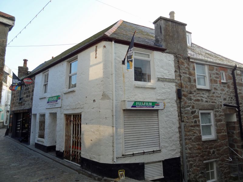
Includes "Harbour Lights" in Cocking Court. C18/19. Granite rubble.
Two storeys, Harbour Lights has three storeys because the site slopes.
Elevation to Fore Street, three widely spaced sashes without glazing bars.
small modern shop windows. Slurried slate hipped roof. Group value.
Nos 49 to 63 (odd) form a group.
Listing NGR: SW5180240696
External links are from the relevant listing authority and, where applicable, Wikidata. Wikidata IDs may be related buildings as well as this specific building. If you want to add or update a link, you will need to do so by editing the Wikidata entry.


Other nearby listed buildings
