Approximate Location Map
Large Map »
Latitude: 50.2148 / 50°12'53"N
Longitude: -5.4801 / 5°28'48"W
OS Eastings: 151822
OS Northings: 40768
OS Grid: SW518407
Mapcode National: GBR DXV3.NM7
Mapcode Global: VH12D.YVRR
Plus Code: 9C2P6G79+WX
Entry Name: 60, Fore Street
Listing Date: 22 December 1972
Grade: II
Source: Historic England
Source ID: 1143382
English Heritage Legacy ID: 69003
ID on this website: 101143382
Location: St Ives, Cornwall, TR26
County: Cornwall
Civil Parish: St. Ives
Built-Up Area: St Ives
Traditional County: Cornwall
Lieutenancy Area (Ceremonial County): Cornwall
Church of England Parish: St Ives
Church of England Diocese: Truro
Tagged with: Building
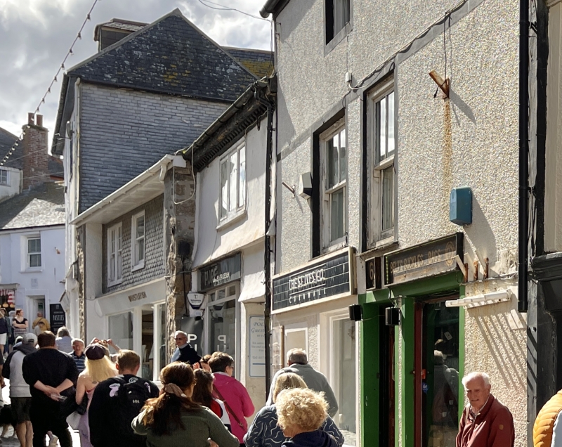
FORE STREET
1. (West Side)
1587 -----------
No 60
SW 54 SW 1/84
II GV
2.
C18. Stucco. Steep slate roof. Two storeys, One window, modern three-
light casement. Small modern shop front. Passageway on right. Modillion
eaves cornice.
Nos 60, 62 and 64 form a group.
Listing NGR: SW5182240770
External links are from the relevant listing authority and, where applicable, Wikidata. Wikidata IDs may be related buildings as well as this specific building. If you want to add or update a link, you will need to do so by editing the Wikidata entry.


Other nearby listed buildings
