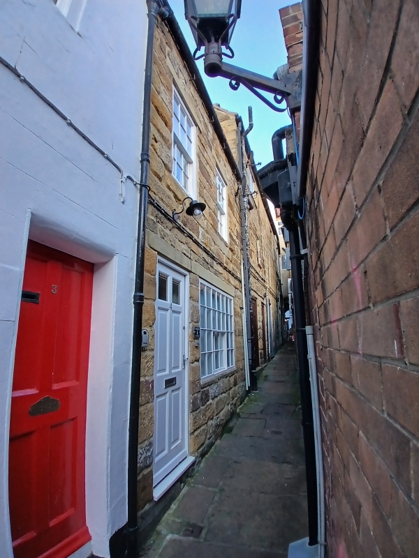
Latitude: 54.4875 / 54°29'14"N
Longitude: -0.6122 / 0°36'43"W
OS Eastings: 490001
OS Northings: 511124
OS Grid: NZ900111
Mapcode National: GBR SJ5K.84
Mapcode Global: WHG9Y.KGPP
Plus Code: 9C6XF9PQ+X4
Entry Name: Nos 4 and 5 Ellerby Lane
Listing Date: 4 December 1972
Grade: II
Source: Historic England
Source ID: 1148288
English Heritage Legacy ID: 326700
ID on this website: 101148288
Location: Whitby, North Yorkshire, YO22
County: North Yorkshire
District: Scarborough
Civil Parish: Whitby
Built-Up Area: Whitby
Traditional County: Yorkshire
Lieutenancy Area (Ceremonial County): North Yorkshire
Church of England Parish: Whitby St Mary
Church of England Diocese: York
Tagged with: Building
1. 1811 CHURCH STREET Ellerby Lane Nos 4 and 5 NZ 9011 2/348
II GV
2. C18 origin. 2 storeys. Pantile roof. 2 windows, double-hung sashes with glazing bars. 1 window on ground floor with C19 glazing; probably a former workshop. Included for group value.
Nos 2 to 7 (consec) form a group.
Listing NGR: NZ9000111124
External links are from the relevant listing authority and, where applicable, Wikidata. Wikidata IDs may be related buildings as well as this specific building. If you want to add or update a link, you will need to do so by editing the Wikidata entry.


Other nearby listed buildings