Latitude: 54.4581 / 54°27'29"N
Longitude: -0.6226 / 0°37'21"W
OS Eastings: 489393
OS Northings: 507837
OS Grid: NZ893078
Mapcode National: GBR SJ3W.0P
Mapcode Global: WHGB4.D6SQ
Plus Code: 9C6XF95G+6X
Entry Name: Churchyard Gateway and Flanking Walls Approximately 30 Metres South of Church of St Hilda
Listing Date: 7 July 1989
Grade: II
Source: Historic England
Source ID: 1148718
English Heritage Legacy ID: 327641
ID on this website: 101148718
Location: St Hilda's Church, Sneaton, North Yorkshire, YO22
County: North Yorkshire
District: Scarborough
Civil Parish: Sneaton
Traditional County: Yorkshire
Lieutenancy Area (Ceremonial County): North Yorkshire
Church of England Parish: Sneaton St Hilda
Church of England Diocese: York
Tagged with: Church gate
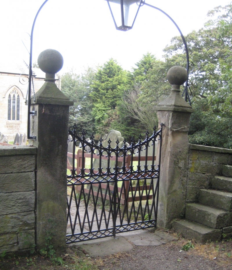
SNEATON VILLAGE NZ 80 NE 4/162 Churchyard gateway and flanking walls approximately thirty metres south of Church of St. Hilda GV II Gate piers, gates and flanking walls. c.1825. Gate piers of vertically tooled sandstone with cast iron gates and overthrow. Flanking walls partly of herringbone-tooled sandstone, partly of rubble stone. Square-section gate piers, approximately 2.3 metres high, with flat caps and ball and pedestal finials. Paired gates with lattice-work band, foils and spear finials, ramped up to piers. Segment-arched overthrow between scrolled brackets with central lantern. Walls approximately 1 metre high with flat coping. Mounting blocks on both sides of wall to east of gate.
Listing NGR: NZ8939307837
External links are from the relevant listing authority and, where applicable, Wikidata. Wikidata IDs may be related buildings as well as this specific building. If you want to add or update a link, you will need to do so by editing the Wikidata entry.


Other nearby listed buildings