Latitude: 54.5418 / 54°32'30"N
Longitude: -0.778 / 0°46'40"W
OS Eastings: 479156
OS Northings: 516963
OS Grid: NZ791169
Mapcode National: GBR RH0X.CP
Mapcode Global: WHF8K.03TK
Plus Code: 9C6XG6RC+PR
Entry Name: Walls to East and South of St Hilda's Rectory
Listing Date: 10 December 1985
Grade: II
Source: Historic England
Source ID: 1148919
English Heritage Legacy ID: 327204
ID on this website: 101148919
Location: St Hilda's Church, Port Mulgrave, North Yorkshire, TS13
County: North Yorkshire
District: Scarborough
Civil Parish: Hinderwell
Built-Up Area: Hinderwell
Traditional County: Yorkshire
Lieutenancy Area (Ceremonial County): North Yorkshire
Church of England Parish: Hinderwell with Roxby and Staithes
Church of England Diocese: York
Tagged with: Wall
NZ 7916
9/129 and 1/129
HINDERWELL
HIGH STREET
(east side)
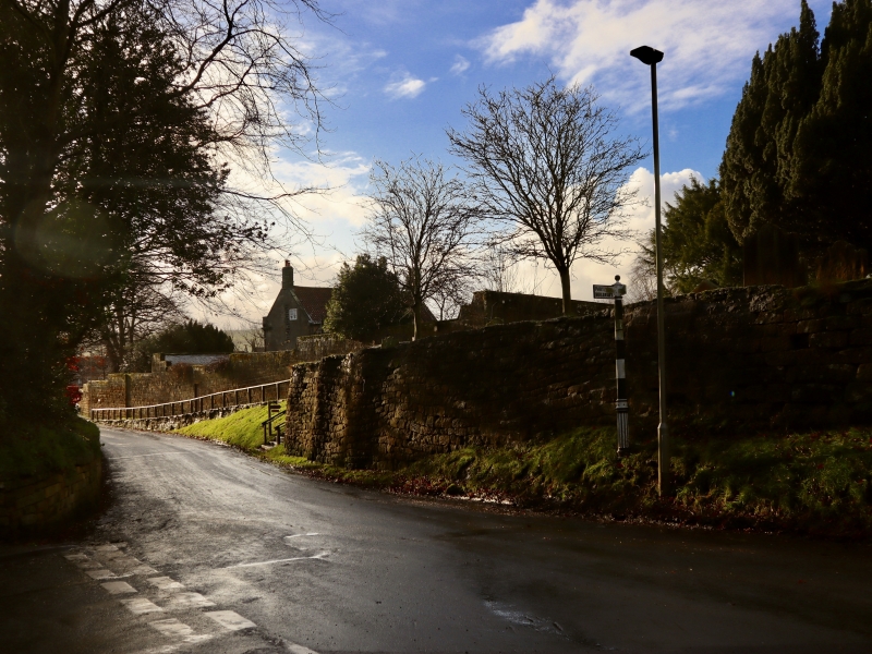
Walls to east and south of St Hilda's Rectory
GV
II
Garden wall, C18 and early C19. Coursed squared stone. Later south part has
rounded coping. Earlier north-east and north ranges are taller, with flat copings,
and stepped down at western and southern ends.
Listing NGR: NZ7915616963
External links are from the relevant listing authority and, where applicable, Wikidata. Wikidata IDs may be related buildings as well as this specific building. If you want to add or update a link, you will need to do so by editing the Wikidata entry.


Other nearby listed buildings