Latitude: 54.0071 / 54°0'25"N
Longitude: -1.4675 / 1°28'3"W
OS Eastings: 434994
OS Northings: 456914
OS Grid: SE349569
Mapcode National: GBR LQ63.2B
Mapcode Global: WHD9L.FJDZ
Plus Code: 9C6W2G4J+RX
Entry Name: The Moat Cafe with Wall to Right
Listing Date: 15 May 1968
Last Amended: 12 December 1985
Grade: II
Source: Historic England
Source ID: 1149897
English Heritage Legacy ID: 330751
ID on this website: 101149897
Location: Knaresborough, North Yorkshire, HG5
County: North Yorkshire
District: Harrogate
Civil Parish: Knaresborough
Built-Up Area: Knaresborough
Traditional County: Yorkshire
Lieutenancy Area (Ceremonial County): North Yorkshire
Church of England Parish: Knaresborough
Church of England Diocese: Leeds
Tagged with: Architectural structure
SE 3456 KNARESBOROUGH CASTLE YARD (east side)
8/87 No 3 (The Moat Cafe) with wall to right (formerly 15.5.68 listed as The Moat Cafe)
GV II
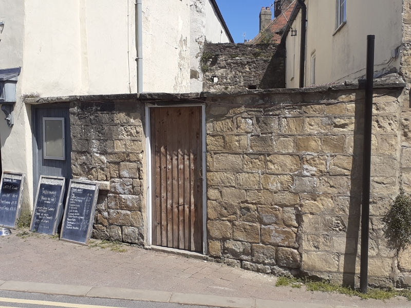
Warehouse or outbuilding, now cafe, and attached wall. C17-C18 with C20 restoration. Rendered, Westmorland slate roof. 2 storeys and attic, 1 x 2 bays. Entrance in south gable end with glazed door and 6-pane cafe window to left. First floor: central side-sliding sash with glazing bars heightened by additional 4 panes. Second floor: central 3-light side- sliding sash with glazing bars. Stub of chimney at north gable end. Left return: two 4-pane casments to ground floor, large panelled signboard above. East side has a long window with small panes below eaves, now painted over. 3 windows on west side covered by hoarding. Single-storey addition to north, not of special interest. Interior: crude joists to ground and first floors, with round-arched fire-place against north first-floor wall. Second floor: 2 roof trusses visible, probably C18. Wall to right: limestone approximately 2 metres high and 6 metres long, linking with south-west corner of no 1 Castlegate (q.v.). Flat coping. Two C20 doors give access to rear of no 1. This cafe is remembered as an outbuilding to no 1 Castlegate and was probably used as a stable. The height suggests that it may have been built as a warehouse or small factory.
Listing NGR: SE3499456914
External links are from the relevant listing authority and, where applicable, Wikidata. Wikidata IDs may be related buildings as well as this specific building. If you want to add or update a link, you will need to do so by editing the Wikidata entry.


Other nearby listed buildings