Latitude: 53.9287 / 53°55'43"N
Longitude: -1.5802 / 1°34'48"W
OS Eastings: 427664
OS Northings: 448144
OS Grid: SE276481
Mapcode National: GBR KRD0.PF
Mapcode Global: WHC8S.PJQ1
Plus Code: 9C5WWCH9+FW
Entry Name: Boundary Stone, Weeton and Rigton Parishes
Listing Date: 22 February 1985
Grade: II
Source: Historic England
Source ID: 1150016
English Heritage Legacy ID: 330527
ID on this website: 101150016
Location: Wayside Terrace, North Yorkshire, LS17
County: North Yorkshire
District: Harrogate
Town: Harrogate
Civil Parish: Weeton
Traditional County: Yorkshire
Lieutenancy Area (Ceremonial County): North Yorkshire
Church of England Parish: Weeton with North Rigton and Stainburn
Church of England Diocese: Leeds
Tagged with: Boundary marker
SE 24 NE NORTH RIGTON A658 SE 2766 4815 (east side)
5/59 Boundary stone, Weeton and Rigton parishes II
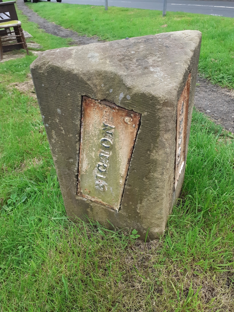
Boundary stone. C19. Gritstone and cast iron. Approximately 60 centimetres high, triangular in plan. Inscriptions: top surface - 'B S', left face - 'RIGTON', right face - 'WEETON', the parish names on cast iron plates set into the stone.
Listing NGR: SE2766448144
External links are from the relevant listing authority and, where applicable, Wikidata. Wikidata IDs may be related buildings as well as this specific building. If you want to add or update a link, you will need to do so by editing the Wikidata entry.


Other nearby listed buildings