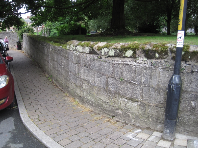
Latitude: 54.1352 / 54°8'6"N
Longitude: -1.5184 / 1°31'6"W
OS Eastings: 431567
OS Northings: 471142
OS Grid: SE315711
Mapcode National: GBR KNVM.2F
Mapcode Global: WHC7V.NB58
Plus Code: 9C6W4FPJ+3M
Entry Name: Stretch of Wall on West Side Running from Junction with Minster Road for Approximately One Hundred Yards
Listing Date: 19 March 1984
Grade: II
Source: Historic England
Source ID: 1150190
English Heritage Legacy ID: 330112
ID on this website: 101150190
Location: Ripon, North Yorkshire, HG4
County: North Yorkshire
District: Harrogate
Civil Parish: Ripon
Built-Up Area: Ripon
Traditional County: Yorkshire
Lieutenancy Area (Ceremonial County): North Yorkshire
Church of England Parish: Ripon Cathedral Parish with Littlethorpe
Church of England Diocese: Leeds
Tagged with: Architectural structure
SE 3171
1/237
RIPON
LOW SAINT AGNESGATE
(west side)
Stretch of wall on west side running from junction with Minster Road for approximately100 yds
II
C18 or earlier. Hammer-dressed limestone. At junction with Minster Road is 4 ft
high, but owing to fall of ground is 9 ft high at its lower end.
Listing NGR: SE3156771142
External links are from the relevant listing authority and, where applicable, Wikidata. Wikidata IDs may be related buildings as well as this specific building. If you want to add or update a link, you will need to do so by editing the Wikidata entry.


Other nearby listed buildings