Latitude: 54.1097 / 54°6'34"N
Longitude: -1.7776 / 1°46'39"W
OS Eastings: 414640
OS Northings: 468227
OS Grid: SE146682
Mapcode National: GBR JN0X.YJ
Mapcode Global: WHC7Q.NYRS
Plus Code: 9C6W465C+VX
Entry Name: Springtop Wood Farm Hay Barn
Listing Date: 25 June 1987
Grade: II
Source: Historic England
Source ID: 1150523
English Heritage Legacy ID: 331283
ID on this website: 101150523
Location: Wath, North Yorkshire, HG3
County: North Yorkshire
District: Harrogate
Civil Parish: Fountains Earth
Traditional County: Yorkshire
Lieutenancy Area (Ceremonial County): North Yorkshire
Tagged with: Hay barn
SE 16 NW
12/3
FOUNTAINS EARTH
Springtop Wood Farm hay barn
II
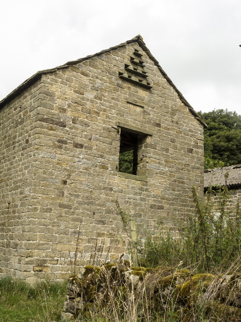
Hay barn. Dated 1815. Coursed squared stone, ashlar, graduated stone slate
roof. 3 bays. 3 full-height openings to centre with 2 square piers. On
left return, board door at first-floor level, above a stone tablet bearing
inscription "EB 1815", to gable pigeon holes with stone ledges. A good
example of an uncommon barn type in Nidderdale.
Listing NGR: SE1464068227
External links are from the relevant listing authority and, where applicable, Wikidata. Wikidata IDs may be related buildings as well as this specific building. If you want to add or update a link, you will need to do so by editing the Wikidata entry.


Other nearby listed buildings