Approximate Location Map
Large Map »
Latitude: 51.4626 / 51°27'45"N
Longitude: -2.3161 / 2°18'57"W
OS Eastings: 378135
OS Northings: 173784
OS Grid: ST781737
Mapcode National: GBR 0PL.97Z
Mapcode Global: VH967.SHXM
Plus Code: 9C3VFM7M+2H
Entry Name: 14, Hay Street
Listing Date: 10 November 1983
Grade: II
Source: Historic England
Source ID: 1156546
English Heritage Legacy ID: 34477
ID on this website: 101156546
Location: Marshfield, South Gloucestershire, SN14
County: South Gloucestershire
Civil Parish: Marshfield
Built-Up Area: Marshfield
Traditional County: Gloucestershire
Lieutenancy Area (Ceremonial County): Gloucestershire
Church of England Parish: Marshfield
Church of England Diocese: Bristol
Tagged with: Building
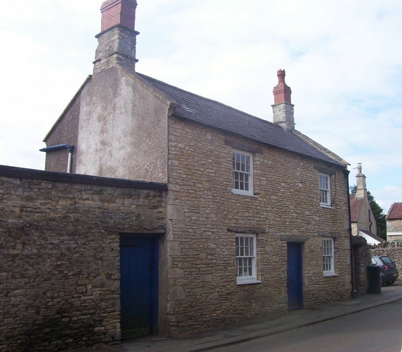
MARSHFIELD C.P. HAY STREET (south side)
ST 7873
14/65 No. 14
G.V. II
House. Early - mid C19. Rendered; slate roof and coped raised verges.
2 storeys. Two 16-pane glazing bar sash windows in plain stone surrounds and
central plank door. Included for group value.
Listing NGR: ST7813573784
External links are from the relevant listing authority and, where applicable, Wikidata. Wikidata IDs may be related buildings as well as this specific building. If you want to add or update a link, you will need to do so by editing the Wikidata entry.


Other nearby listed buildings
