Approximate Location Map
Large Map »
Latitude: 53.1938 / 53°11'37"N
Longitude: -1.6489 / 1°38'55"W
OS Eastings: 423557
OS Northings: 366364
OS Grid: SK235663
Mapcode National: GBR 580.PYL
Mapcode Global: WHCD7.NZ1D
Plus Code: 9C5W59V2+GF
Entry Name: Garden Terraces and Steps to South East of Haddon Hall
Listing Date: 12 July 1967
Last Amended: 14 February 1985
Grade: II*
Source: Historic England
Source ID: 1158083
English Heritage Legacy ID: 81026
ID on this website: 101158083
Location: Derbyshire Dales, Derbyshire, DE45
County: Derbyshire
District: Derbyshire Dales
Civil Parish: Nether Haddon
Traditional County: Derbyshire
Lieutenancy Area (Ceremonial County): Derbyshire
Church of England Parish: Bakewell All Saints
Church of England Diocese: Derby
Tagged with: Terrace garden
SK 26 NW PARISH OF NETHER HADDON HADDON ROAD
2/29 (North Side)
12.7.67 Garden terraces and steps to
SE of Haddon Hall, (formerly
listed as 'Balustrades and
steps at Haddon Hall')
GV II*
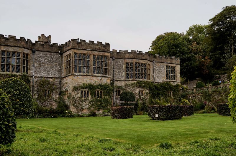
Garden terraces and steps. Partly mid C16 and partly early C17. Rubble limestone
and ashlar gritstone. Series of four garden terraces, down to river level, with
high dry stone limestone rubble retaining walls and flights of steps between levels.
The early C17 top terrace has a balustrade with central steps to lower terrace on
its southern side, made up of five bay arcades of square rusticated balusters with
semi-circular headed arches between, with projecting keystones, topped by wide
handrail and linked by large rusticated piers, surmounted by large ball finials.
The lower terrace is in turn supported by high walls to south-east and south-west,
each with a series of massive, dry stone wall, battered buttresses. Similar wall
with buttresses to south-west, supporting the path near the Chapel, with a long
flight of steps down to river level at southern end. Two lower terraces, partly paved
with steps between them at eastern corner. All these lower terraces possibly
date from mid C16 when the south-east range of the west courtyard was reconstructed.
Sources see Country Life CVI pp 1884 (1949).
Listing NGR: SK2355766364
External links are from the relevant listing authority and, where applicable, Wikidata. Wikidata IDs may be related buildings as well as this specific building. If you want to add or update a link, you will need to do so by editing the Wikidata entry.


Other nearby listed buildings
