Approximate Location Map
Large Map »
Latitude: 53.9476 / 53°56'51"N
Longitude: -2.4609 / 2°27'39"W
OS Eastings: 369843
OS Northings: 450267
OS Grid: SD698502
Mapcode National: GBR CQ8S.0M
Mapcode Global: WH963.51CH
Plus Code: 9C5VWGXQ+2J
Entry Name: Newton Bridge
Listing Date: 16 November 1983
Grade: II
Source: Historic England
Source ID: 1163370
English Heritage Legacy ID: 183096
ID on this website: 101163370
Location: Newton, Ribble Valley, Lancashire, BB7
County: Lancashire
District: Ribble Valley
Civil Parish: Newton
Traditional County: Yorkshire
Lieutenancy Area (Ceremonial County): Lancashire
Church of England Parish: Slaidburn St Andrew
Church of England Diocese: Leeds
Tagged with: Bridge
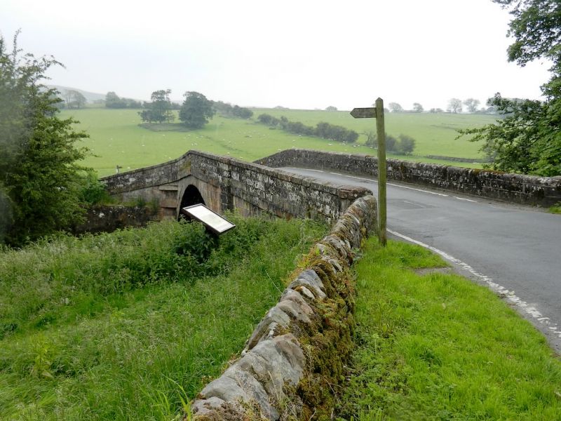
SD 6950 NEWTON NEWTON VILLAGE
18/45 Newton Bridge
II
Bridge over the River Hodder, probably late C18th, widened at the south-west
side later. Sandstone ashlar. 2 segmental arches with triangular cutwater,
solid parapet with weathered coping, and string course.
Listing NGR: SD6984350267
External links are from the relevant listing authority and, where applicable, Wikidata. Wikidata IDs may be related buildings as well as this specific building. If you want to add or update a link, you will need to do so by editing the Wikidata entry.


Other nearby listed buildings
