Latitude: 50.7255 / 50°43'31"N
Longitude: -3.5293 / 3°31'45"W
OS Eastings: 292154
OS Northings: 92884
OS Grid: SX921928
Mapcode National: GBR P1.8SF1
Mapcode Global: FRA 37H5.8VL
Plus Code: 9C2RPFGC+67
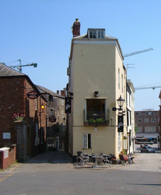
Entry Name: 12 and 13, Castle Street
Listing Date: 18 June 1974
Grade: II
Source: Historic England
Source ID: 1169621
English Heritage Legacy ID: 88907
ID on this website: 101169621
Location: Exeter, Devon, EX4
County: Devon
District: Exeter
Electoral Ward/Division: St David's
Parish: Non Civil Parish
Built-Up Area: Exeter
Traditional County: Devon
Lieutenancy Area (Ceremonial County): Devon
Church of England Parish: Central Exeter
Church of England Diocese: Exeter
Tagged with: Building
CASTLE STREET 1. 1092 (East Side) Nos 12 and 13 SX 9292 NW 3/70 II GV 2. Late C18/Early C19 stucco fronts. Three and four storeys, two windows to No 12, sashes with glazing bars, one to No 13, C19 sashes. No 12 has a six fielded panel door with rectangular light over. No 13 has a modern door. Slate roof. All the listed buildings in Castle Street form a group.
Listing NGR: SX9215492883
External links are from the relevant listing authority and, where applicable, Wikidata. Wikidata IDs may be related buildings as well as this specific building. If you want to add or update a link, you will need to do so by editing the Wikidata entry.


Other nearby listed buildings