Approximate Location Map
Large Map »
Latitude: 51.9884 / 51°59'18"N
Longitude: -0.1882 / 0°11'17"W
OS Eastings: 524509
OS Northings: 233769
OS Grid: TL245337
Mapcode National: GBR J6Y.788
Mapcode Global: VHGNM.P9C0
Plus Code: 9C3XXRQ6+9P
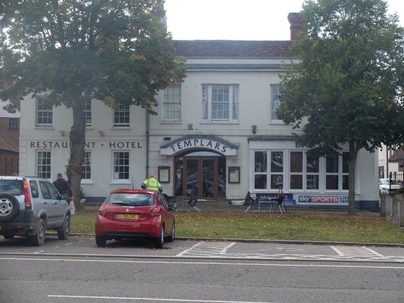
Entry Name: 20, High Street
Listing Date: 15 August 1974
Grade: II
Source: Historic England
Source ID: 1175472
English Heritage Legacy ID: 161649
ID on this website: 101175472
Location: Baldock, North Hertfordshire, SG7
County: Hertfordshire
District: North Hertfordshire
Electoral Ward/Division: Baldock Town
Parish: Non Civil Parish
Built-Up Area: Baldock
Traditional County: Hertfordshire
Lieutenancy Area (Ceremonial County): Hertfordshire
Church of England Parish: Baldock
Church of England Diocese: St.Albans
Tagged with: Building
HIGH STREET
1. (South West Side)
5255 -----------------
No 20
TL 2433 NW 1/240
TL 2433 NE 2/240
II GV
2.
Early C19 front. Stucco, old tiled roof behind parapet and cornice.
2 storeys, rusticated ground floor, first floor band and 3 sash windows,
1 triple light, all with glazing bars. C19 shop bay window, altered,
and segmentally arched shop window on left.
The Council Buildings, Nos 6, 6A, 8, 10, 10A, 12, 14, 14A, 14B, 14C, 16,
20, 24, 24A, 26, 32 to 42 (even), Gateway and Wall in front of Wynne's
Almhouses. Nos 46, 46A and 48 to 52 (even) form a group.
Listing NGR: TL2450933769
External links are from the relevant listing authority and, where applicable, Wikidata. Wikidata IDs may be related buildings as well as this specific building. If you want to add or update a link, you will need to do so by editing the Wikidata entry.


Other nearby listed buildings
