Latitude: 52.7327 / 52°43'57"N
Longitude: -2.7009 / 2°42'3"W
OS Eastings: 352766
OS Northings: 315234
OS Grid: SJ527152
Mapcode National: GBR BL.0XDC
Mapcode Global: WH8BN.HK2X
Plus Code: 9C4VP7MX+3J
Entry Name: Farm Buildings and Carriage Arch to Sundorne Castle
Listing Date: 17 February 1986
Grade: II
Source: Historic England
Source ID: 1177324
English Heritage Legacy ID: 259298
ID on this website: 101177324
Location: Sundorne, Shropshire, SY4
County: Shropshire
Civil Parish: Uffington
Traditional County: Shropshire
Lieutenancy Area (Ceremonial County): Shropshire
Church of England Parish: Uffington Holy Trinity
Church of England Diocese: Lichfield
Tagged with: Agricultural structure
SJ 51 NW UFFINGTON C.P. -
1/72 Farm buildings and - carriage arch to Sundorne Castle
- II
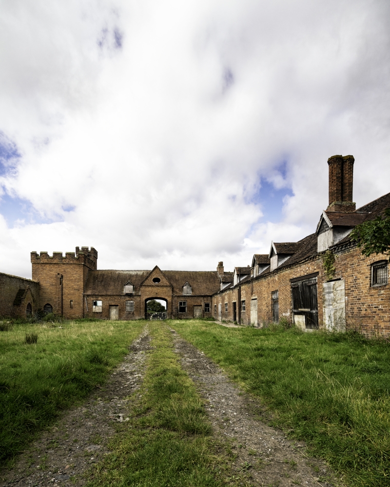
Farm buildings and carriage arch. Early C19 with C20 alterations. Red brick; tiled roof; verge parapets; 2 twin-shafted stacks. L-shaped plan running north and east and attached to screen wall and tower (q.v.) to the south. Single storey and attic. East face has slight break to central elliptically-arched carriage entry. Steeply-pitched gable over with projecting bands of brickwork implying a pediment and elliptical pitching eye to tympanum; a pair of dormers flank the gable, set over segmental-headed casements, 2 to each side with boarded doors between. These buildings form part of the planned layout at Sundorne Castle. The tall chimneys visible from a distance above the crenellated screen wall contribute to the castle-like appearance.
Listing NGR: SJ5276615234
External links are from the relevant listing authority and, where applicable, Wikidata. Wikidata IDs may be related buildings as well as this specific building. If you want to add or update a link, you will need to do so by editing the Wikidata entry.


Other nearby listed buildings