Latitude: 52.3361 / 52°20'9"N
Longitude: 0.805 / 0°48'17"E
OS Eastings: 591199
OS Northings: 274593
OS Grid: TL911745
Mapcode National: GBR RF9.DBL
Mapcode Global: VHKCS.WKX0
Plus Code: 9F428RP3+CX
Entry Name: Honington House and Boundary Walls Adjoining to North and East
Listing Date: 14 December 1983
Grade: II
Source: Historic England
Source ID: 1182019
English Heritage Legacy ID: 284051
ID on this website: 101182019
Location: Honington, West Suffolk, IP31
County: Suffolk
District: West Suffolk
Civil Parish: Honington
Built-Up Area: Honington
Traditional County: Suffolk
Lieutenancy Area (Ceremonial County): Suffolk
Church of England Parish: Honington All Saints
Church of England Diocese: St.Edmundsbury and Ipswich
Tagged with: Building
TL 97 SW HONINGTON IXWORTH ROAD (WEST SIDE)
3/74 Honington House and - boundary walls adjoining to North and East.
GV II
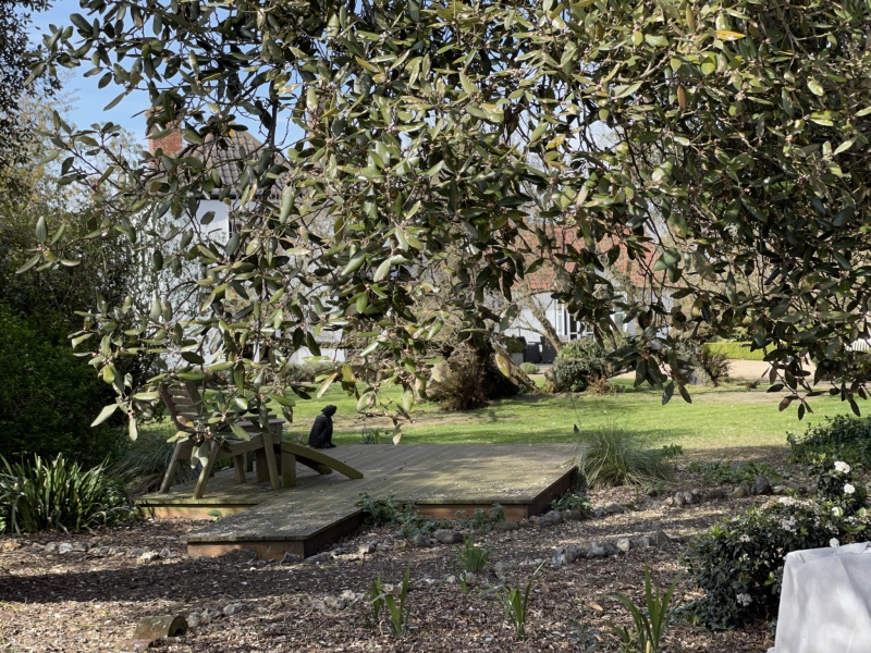
Former Rectory. C18. 2 storeys. Timber-framed and plastered. Black glazed pantiled roofs, fully hipped, with wide eaves overhang and mutule cornice. Internal chimney-stack with plain red brick shaft. Centre front has a 2-storey rounded bay. Range of sash windows in flush frames, all but one with the glazing-bars removed. At the north-east corner, behind the front range, is a 2-storey block with fully hipped roof: apparently a separate building linked with the main house. This has small-paned sash windows in flush frames. Coved plaster ceilings to upper rooms. Stair wing at rear, containing an early C19 geometrical stair. One octagonal ground-floor room with coved ceiling. Adjoining the north-east corner of the house is a long stretch of high rubble flint wall, with rounded copings and red brick piers, at its western end forming one side of a range of single-storey outbuildings, with clay pantiled roofs, extending from the rear of the house At the north-east end, a doorway in Gothic style, with pointed head and red brick jambs. The return wall along the east side which forms the boundary between the garden and the school yard has a similar blocked doorway.
Listing NGR: TL9119974593
External links are from the relevant listing authority and, where applicable, Wikidata. Wikidata IDs may be related buildings as well as this specific building. If you want to add or update a link, you will need to do so by editing the Wikidata entry.


Other nearby listed buildings